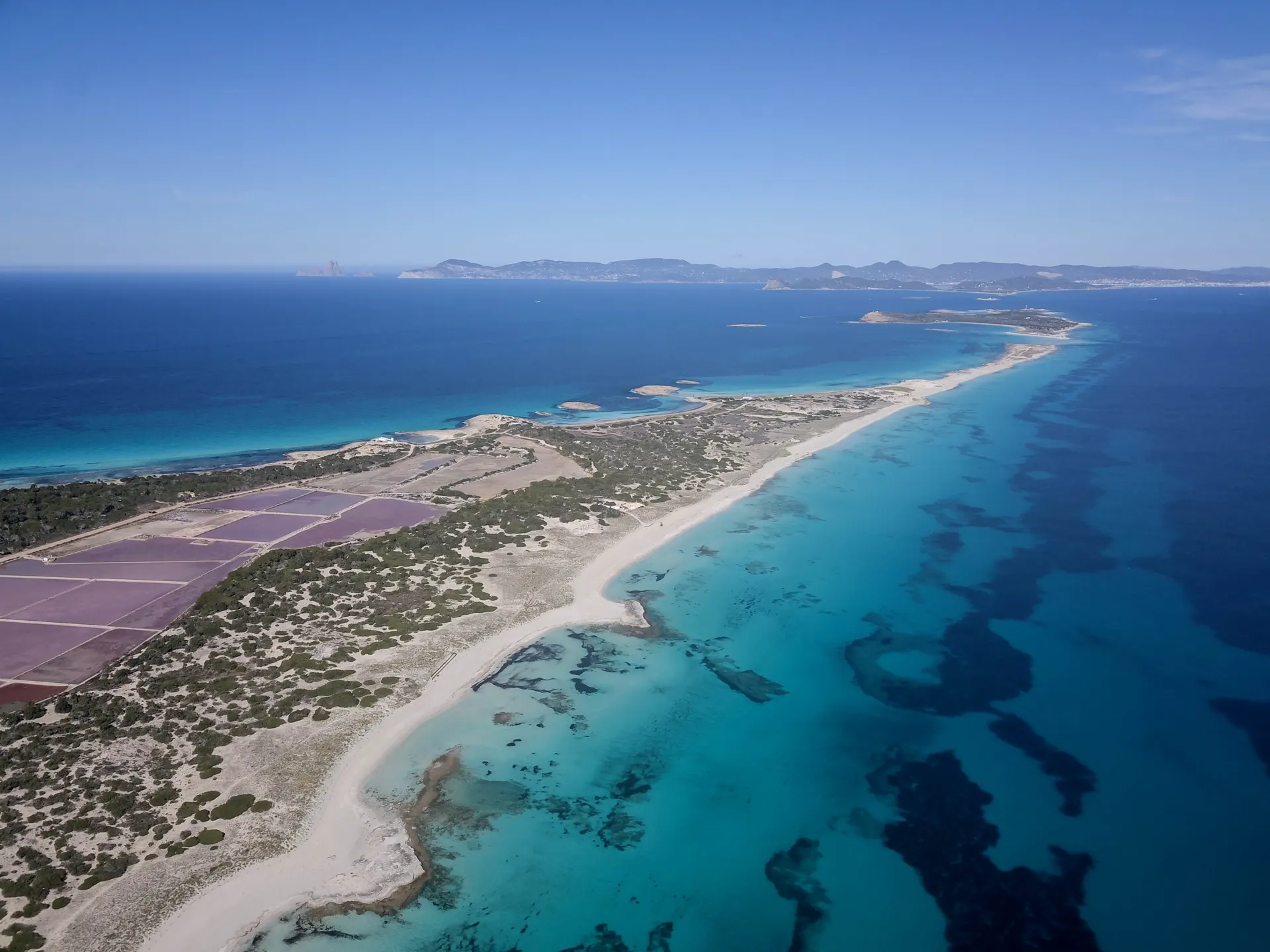

Platja de Migjorn is the south coast of Formentera: the longest beach on the island, a chain of sandy coves separated by rock that runs from Es Mal Pas in the west to Es Copinar below La Mola in the east. It faces south, is about 40 metres wide on average and lies 8.9 km from the marina at La Savina. The nearest town is Sant Francesc Xavier.
The beach
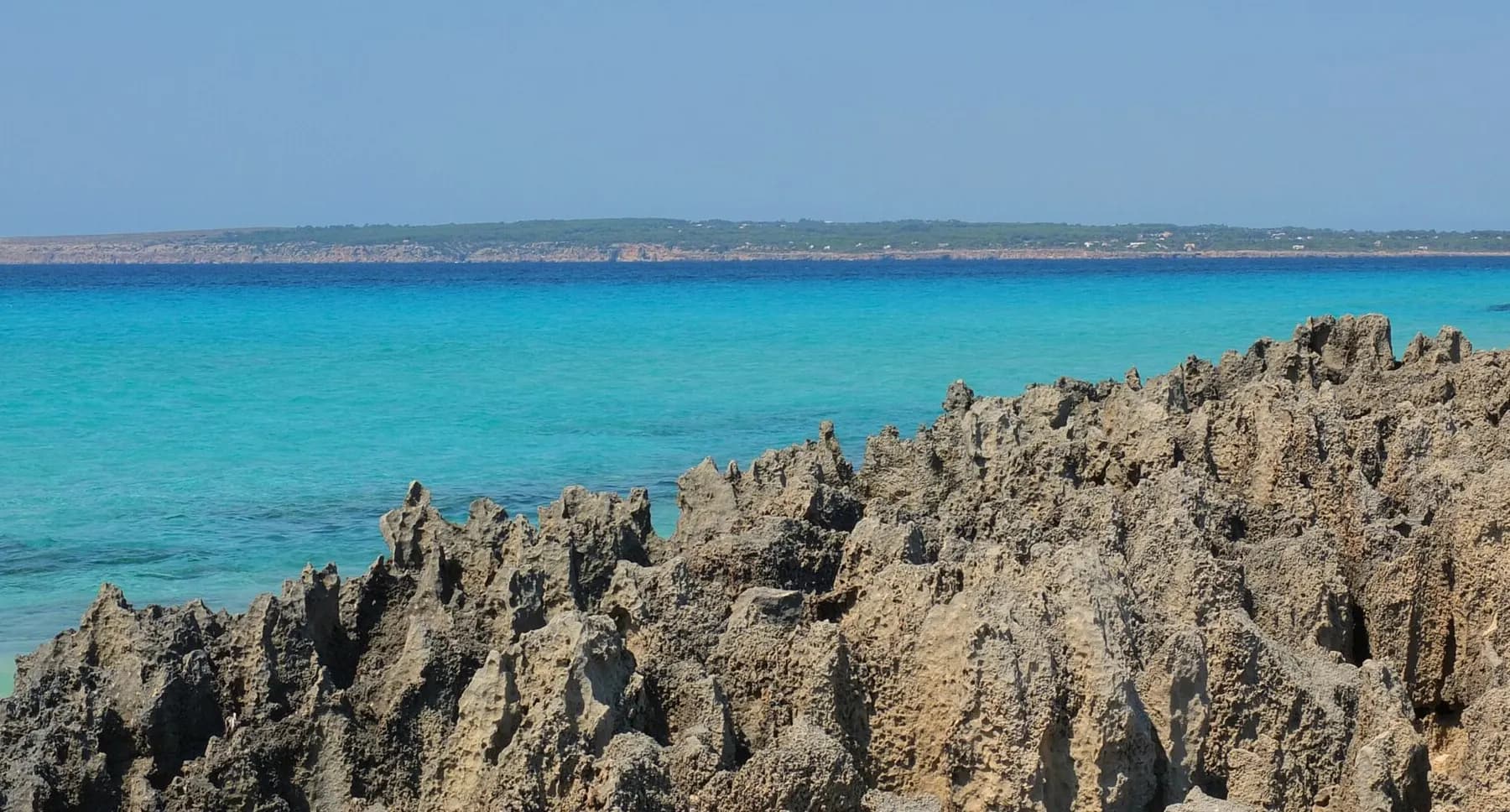
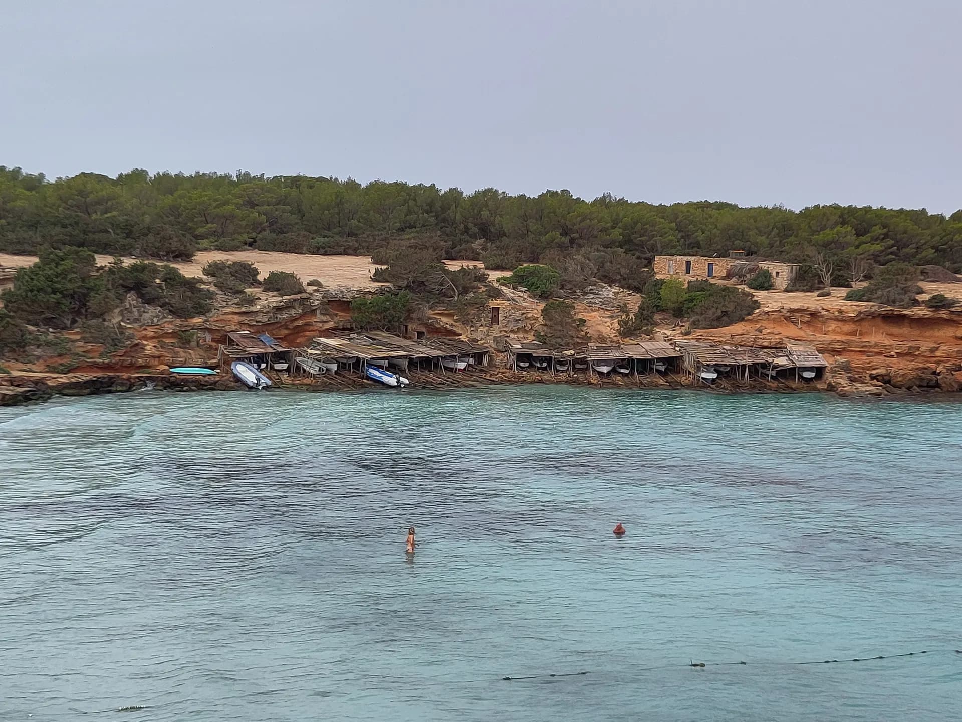
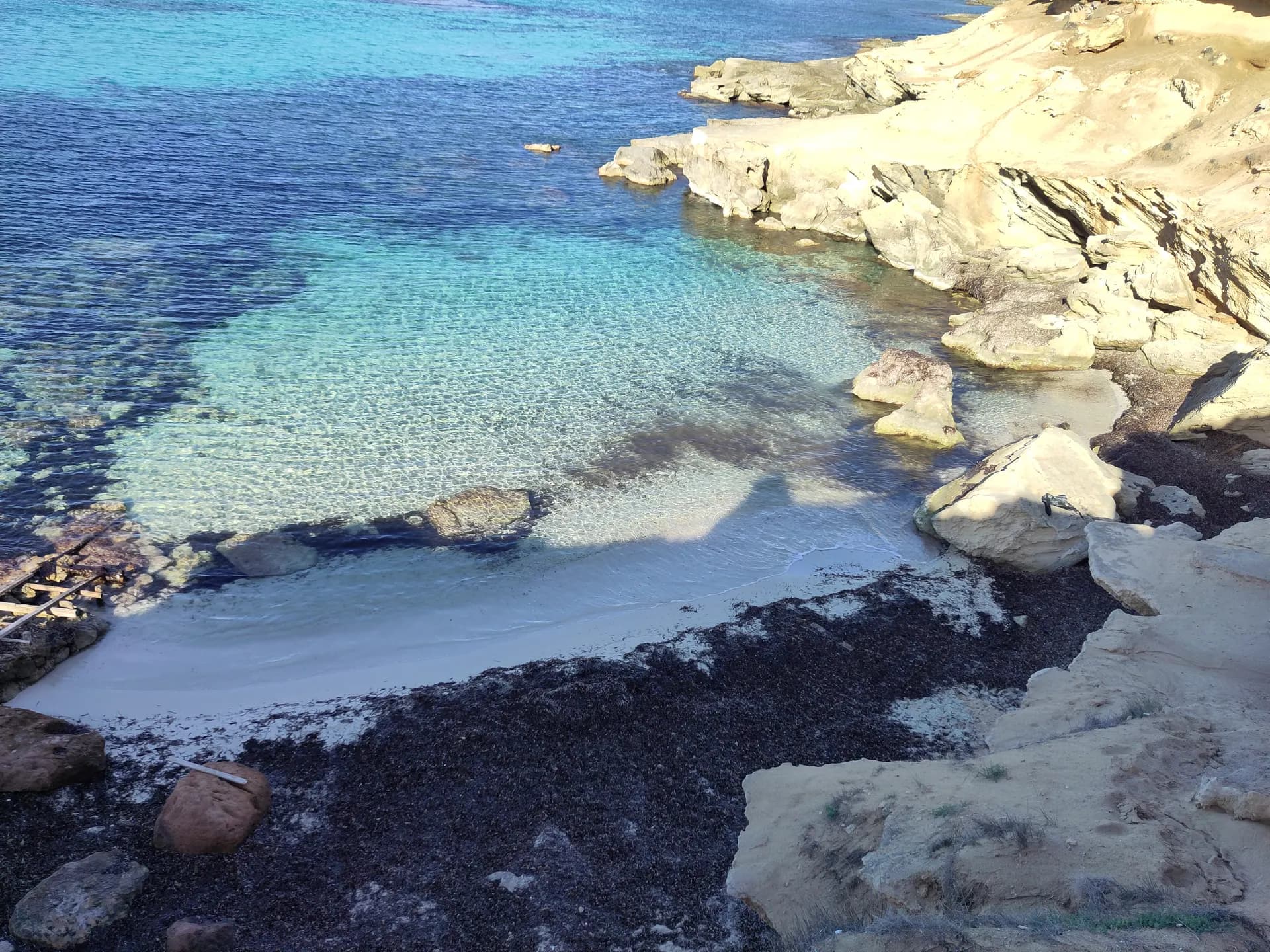
Five kilometres of beach. It is not one beach but a large crescent of sections, each with its own name and access road: from west to east Es Mal Pas, Es Ca Marí, Es Racó Fondo, Es Còdol Foradat, Es Valencians, Es Arenals and Es Copinar. The most popular are Es Ca Marí, Es Arenals and Es Copinar, because they have a sandy seabed running out to sea and can be reached by car. Other sections are rockier, sometimes with small caves cut by wind and sea.
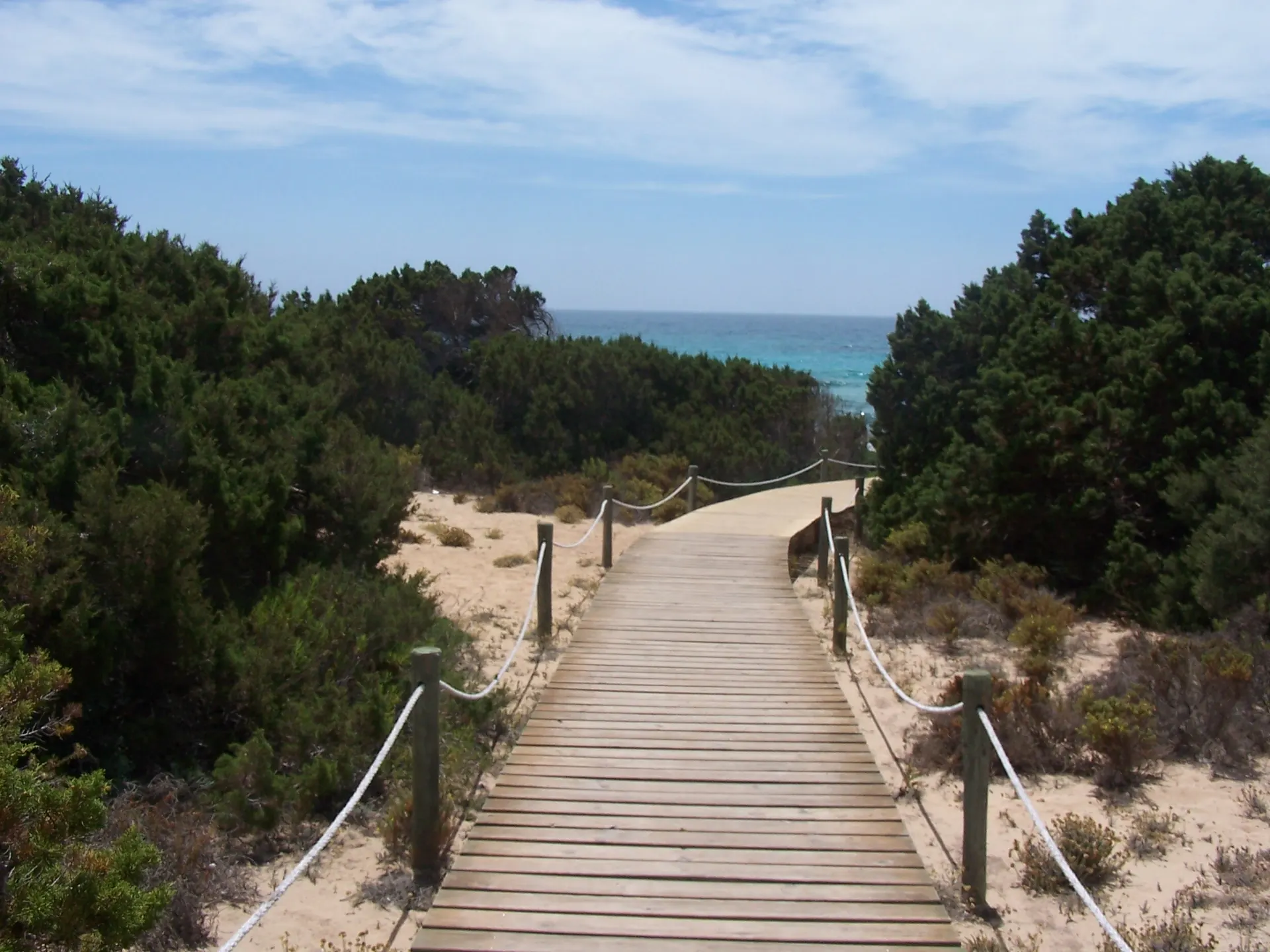
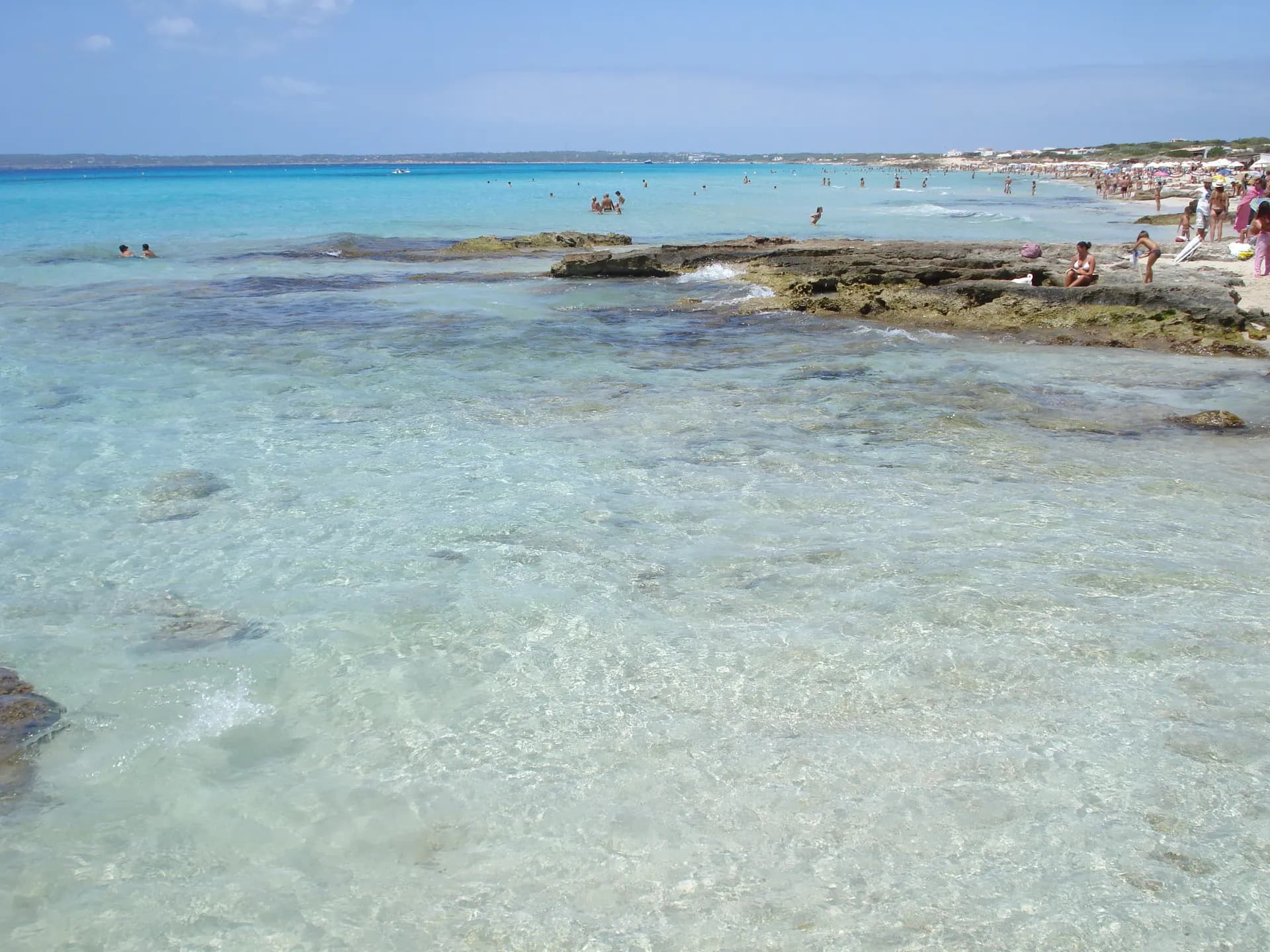
The sand is fine and white to golden, the water clear and shallow with sandy bottoms. There is gravel as well as sand, and the waves are moderate. Winter currents reshape the shore every year, so sandy stretches come and go. The coast is part of the Platja de Migjorn-Costa de Tramuntana natural area of special interest, with pine and juniper woods and Posidonia meadows offshore; it is not inside the Ses Salines natural park. Nudism is practised, as on most of the island.
Getting there
By road, take any of the many turn-offs to the south off the main road once past Sant Ferran de ses Roques in the direction of La Mola; which turn-off you take decides which section you reach. By bicycle, ride from Sant Francesc Xavier. By bus, lines L2 (Port La Savina to El Pilar de la Mola) and L7 stop at Ca Marí, at the Cruïlla Arenals crossroads and at Es Copinar, where the L7 terminates. On foot, the shore is continuous enough to walk between sections.
Parking and access rules
Free parking close to the beach at the road-access sections. No natural park vehicle fee applies here. From 15 May to 15 October 2026 vehicle access and parking on the roads to Es Caló des Mort and Es Ram, at the eastern end, are restricted; the Es Copinar car park is the designated alternative.
Services
Seafood restaurants and beach bars along the coast, open in low season as well, sunbed rental, water sports and a scuba diving area. Migjorn is an adapted beach with access for people with reduced mobility. Es Arenals has lifeguards and toilets. Accommodation of every size, from apartments and hotels to small family establishments, stands behind the sand.
When to go
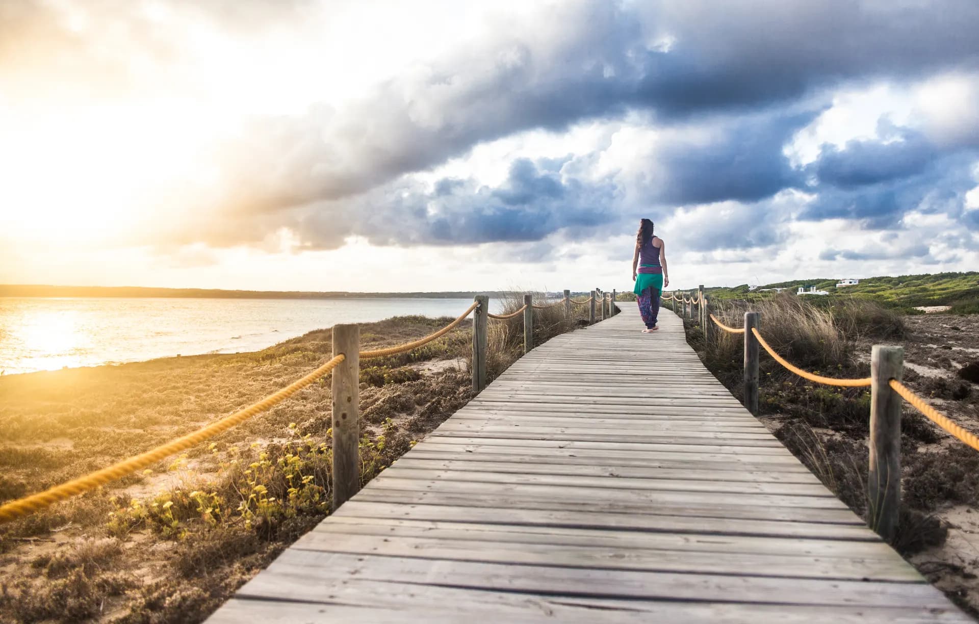
The south-facing coast is usually sheltered from the prevailing summer winds, so it is the side of the island to choose on a Tramuntana day. The beach bars and kiosks are a place to watch the sunset even though the beach faces south. It is long enough that the busy sections and the empty ones are a few hundred metres apart.
Nearby
The sections Es Ca Marí, Es Còdol Foradat, Es Arenals and Es Copinar each have their own page. Es Caló des Mort is the small cove beyond the eastern end, 1.1 km from Es Arenals. Cala en Baster on the north coast is 2.3 km away, and Ses Platgetes 3.1 km. Sant Francesc Xavier and El Pilar de la Mola are the towns at the two ends of the coast.