

El Pilar de la Mola is the town on the La Mola plateau, the high eastern end of Formentera, more than 100 metres above the sea and surrounded by cliffs. It is the most isolated town on the island, spread along both sides of the main road, and on Wednesday and Sunday afternoons from May to October its craft market makes it the island's main draw.
The town
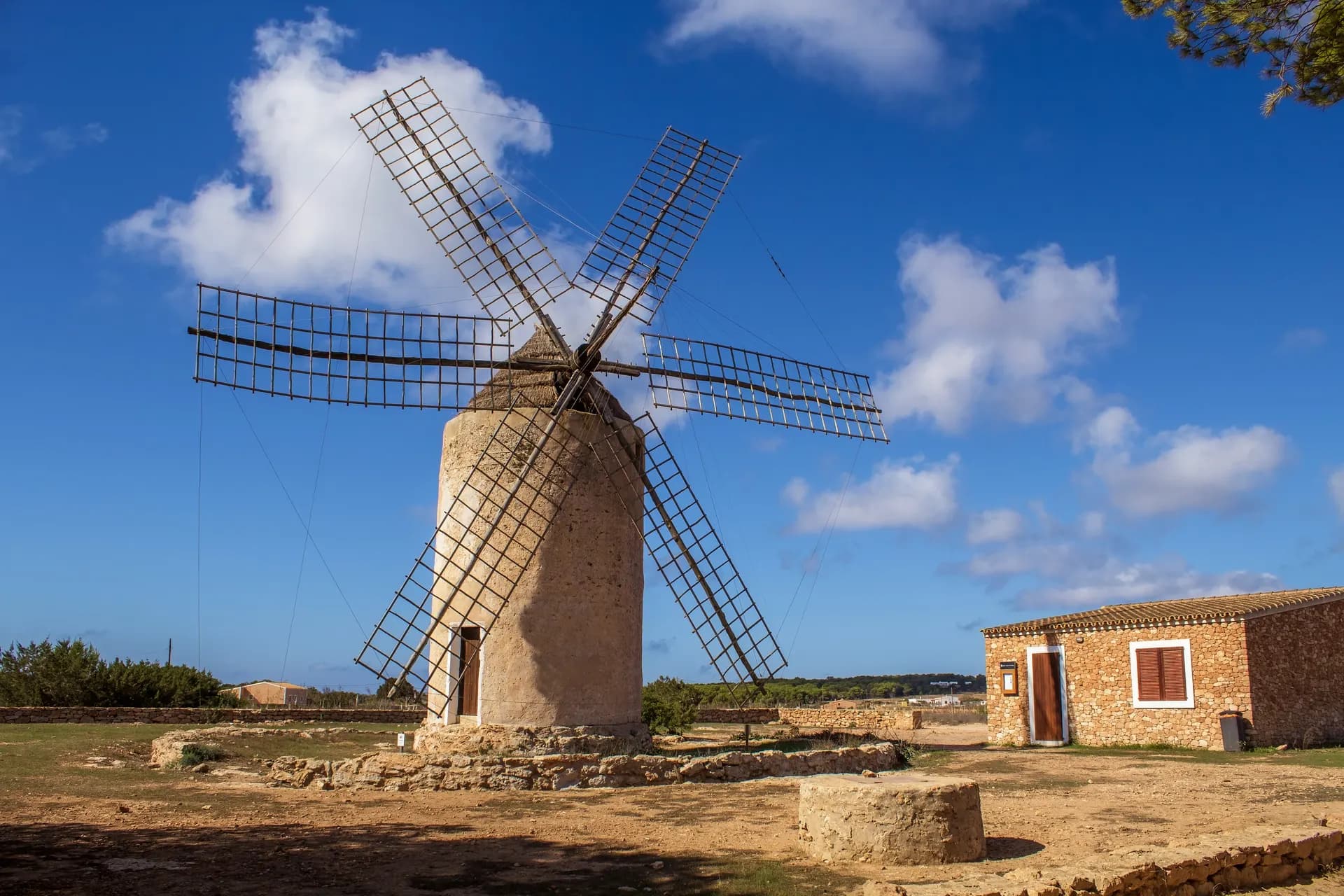
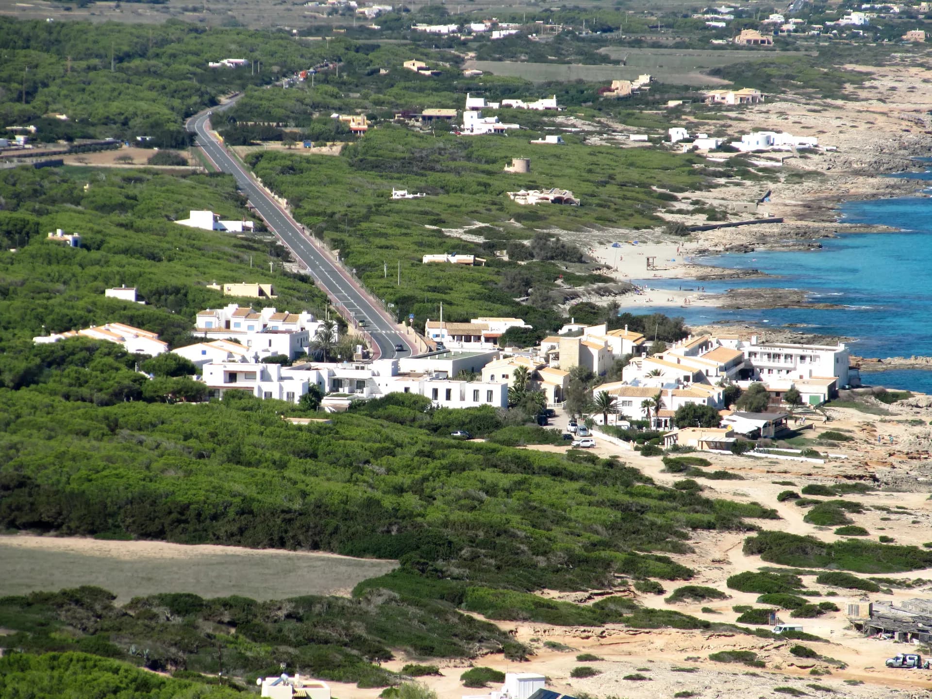
The main road climbs from the flat part of the island through a small wood and then opens on to the wide countryside of the plateau, with the town a few kilometres further on. At the end of the town stands the church of El Pilar, built in the 18th century for this isolated community. Beyond it, dry stone walls border fields whose main crop is the grapes for the local wines. The town has restaurants, bars and the odd craft workshop, and in summer its calm is a different world from the rest of the island.
The craft market was started by artists and craftspeople as a private initiative and still aims to show, sell and promote local craftsmanship. It is not large, but you buy from the maker: baskets, espadrilles, jewellery, textiles, glass, ceramics, leather and paintings by artists living on the island, with live music from visiting musicians in the evenings.
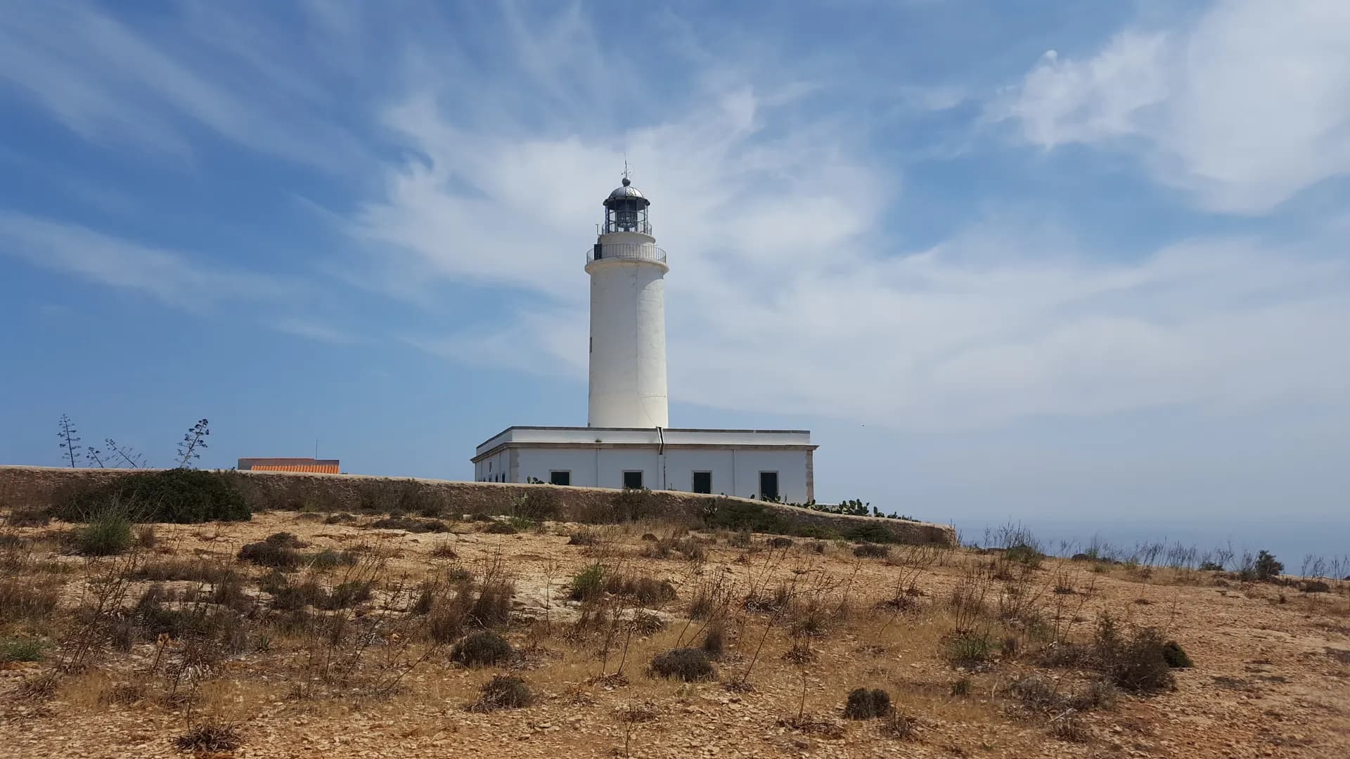
A few kilometres on, the road ends at the Far de la Mola lighthouse with views of the cliffs. Jules Verne set his novel Hector Servadac on Formentera and a monument there honours him. Green route 32, at more than 12 km the longest of the island's 32 green routes, circles the plateau that locals call an island within an island.
Getting there
By road, the main road from Sant Ferran de ses Roques and Es Caló de Sant Agustí climbs to the plateau. By bus, line L2 from Port La Savina via Sant Ferran de ses Roques, Es Ca Marí, Es Caló de Sant Agustí and Es Copinar runs to El Pilar de la Mola and continues to the Far de la Mola; from 1 May 2026 a long trip costs 3.20 EUR and a day pass 15 EUR. On foot, green route 25, the Camí de sa Pujada, is the old cobbled path up from Es Caló de Sant Agustí with the best views on the island. Take the bus for the climb rather than the bicycle.
Services
Restaurants, bars, craft workshops and the Wednesday and Sunday market in season.
When to go
Wednesday and Sunday afternoons from May to October for the market. In summer the plateau is quieter than the coast, and the lighthouse at the end of the road is the reason to go on past the town.
Nearby
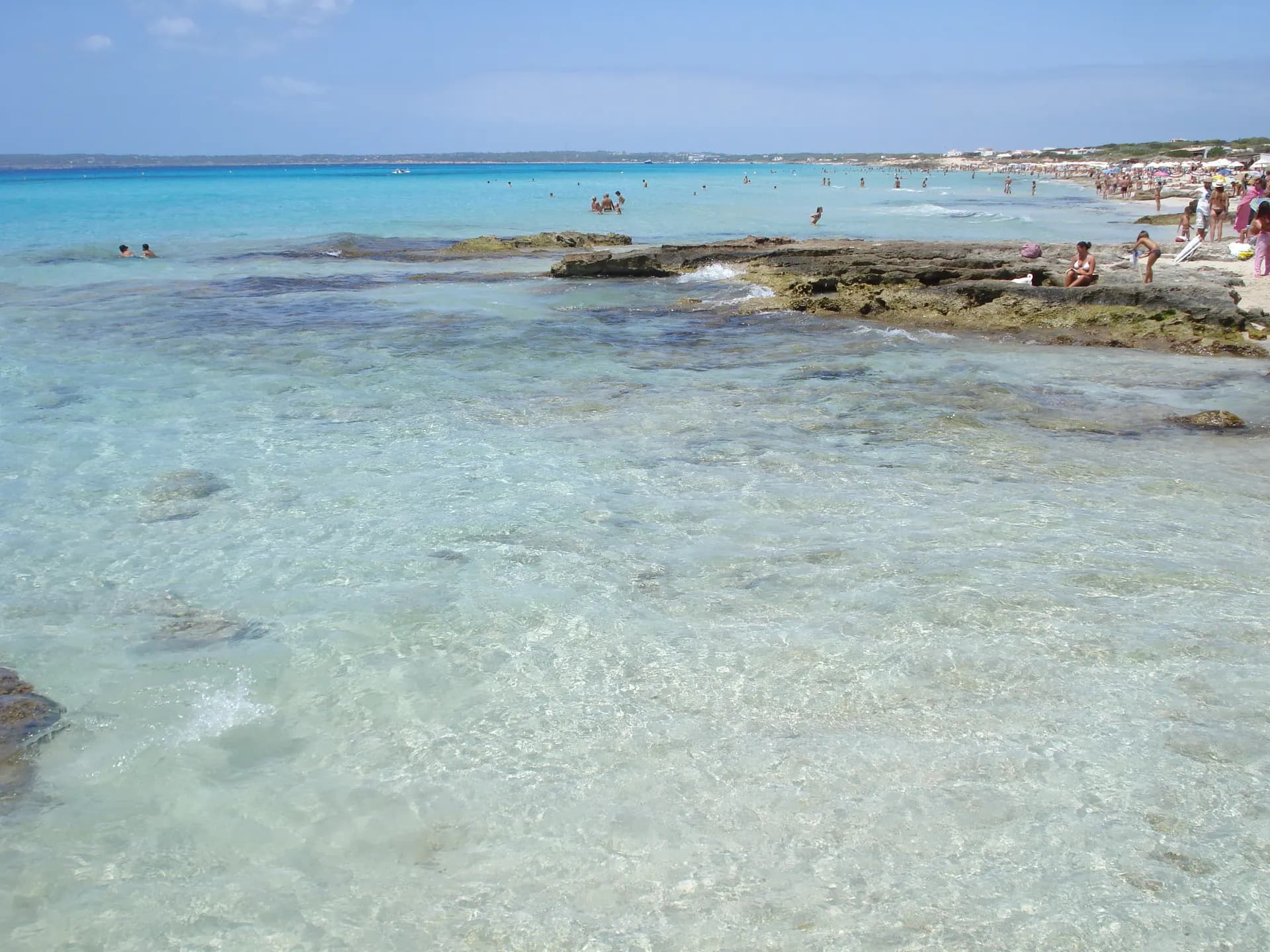
Es Caló de Sant Agustí, at the foot of the climb, has Platja des Caló and the coves of Ses Platgetes. On the south coast below the plateau are Es Arenals and Es Copinar, the eastern sections of Platja de Migjorn, 4.8 km from La Mola, and the cove of Es Caló des Mort.