
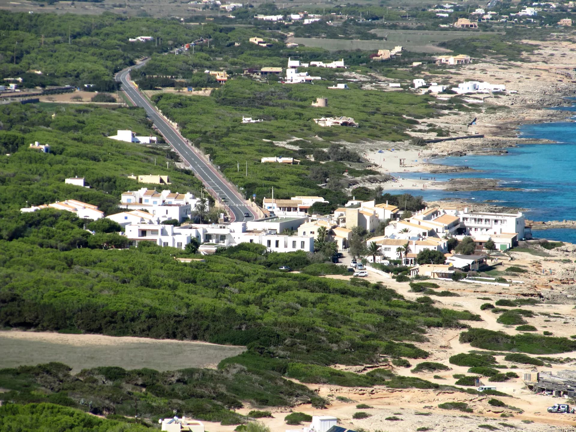
Es Caló de Sant Agustí, usually just Es Caló, is a small fishing hamlet on the north coast of Formentera, the Tramuntana coast, between Sant Ferran de ses Roques and the climb up to El Pilar de la Mola. It is the only coastal settlement in this part of the island, valued by residents and visitors for its harbour and its restaurants.
The town
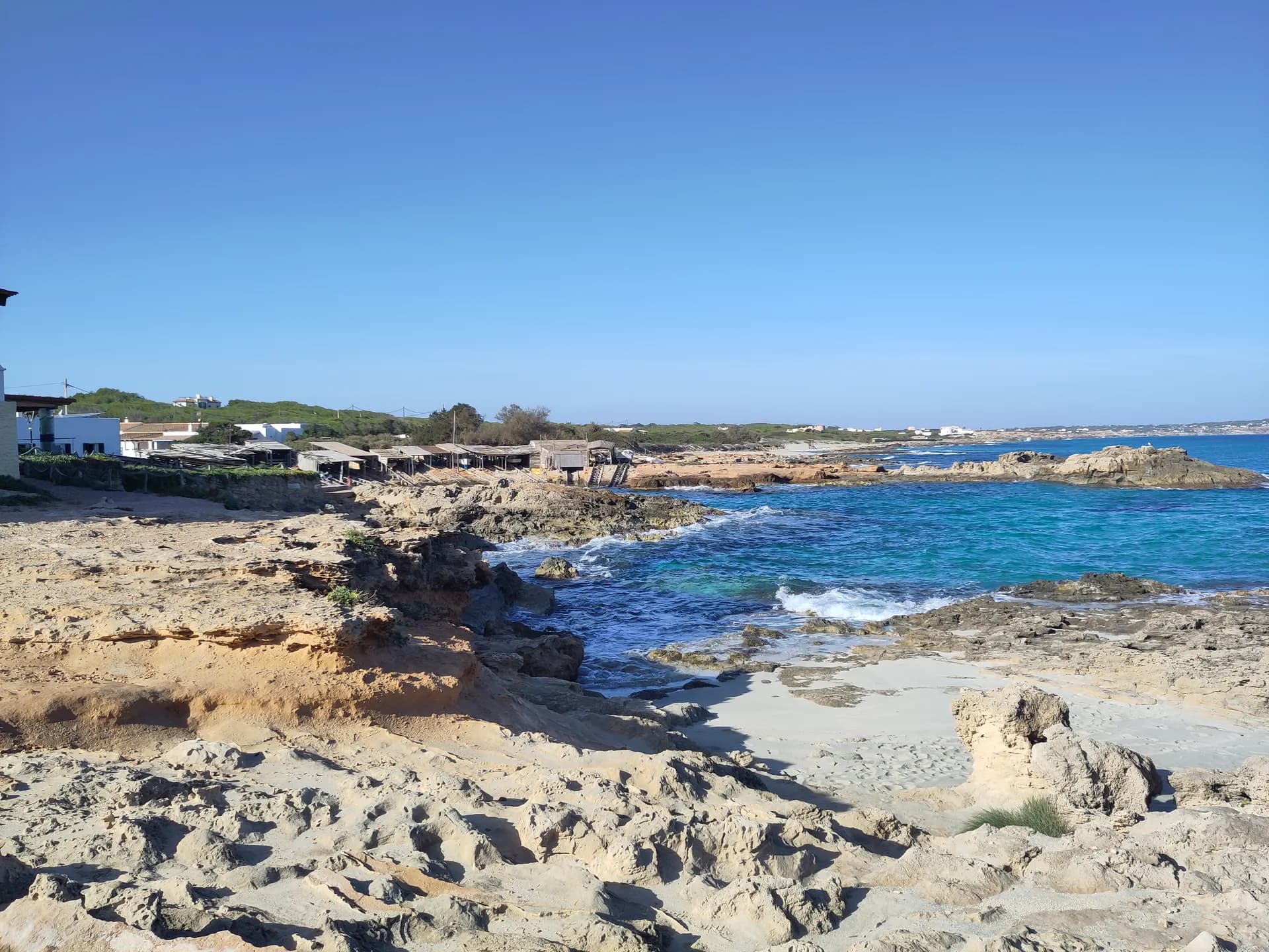
The hamlet's distinctive sight is a natural harbour ringed by whitewashed huts and traditional wooden boat ramps, the escars, arranged in a radial pattern. Their function is to protect small boats from the salt water, and they were declared a site of cultural interest in 2002. It is still a working fishing port. Around the harbour are the traditional restaurants, known for fresh local fish, plus a couple of cafés and a small supermarket.
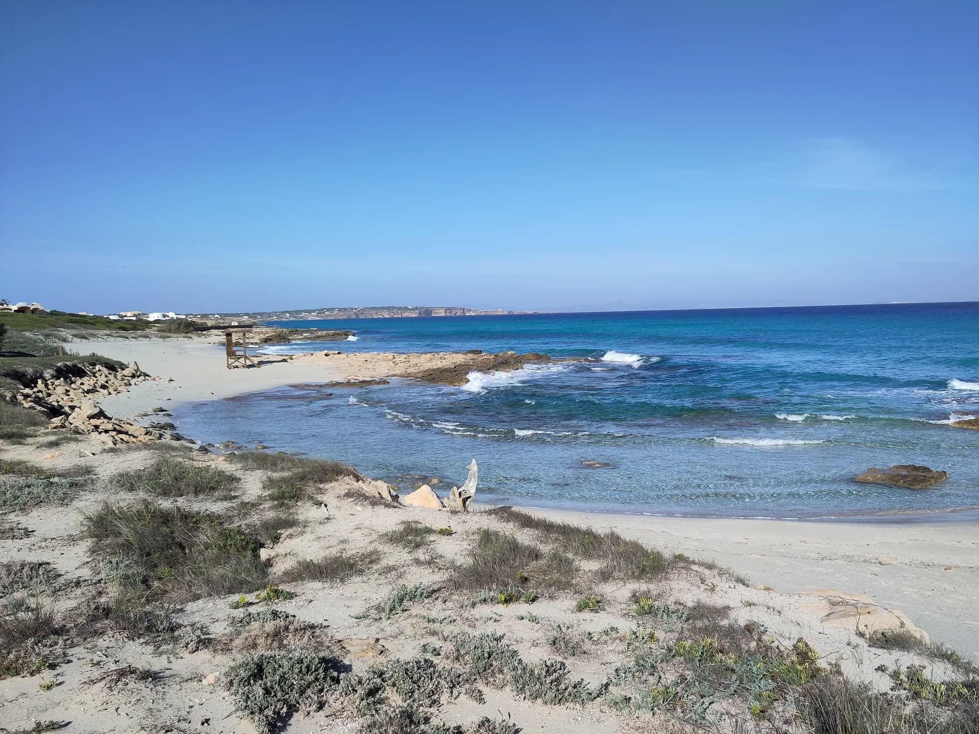
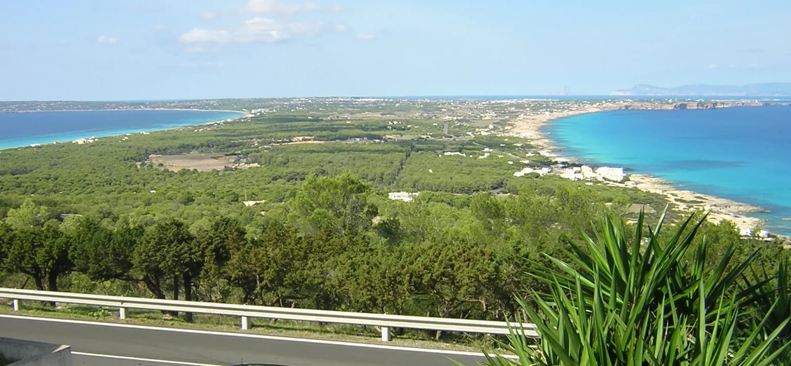
The walk around the hamlet is full of contrasts: the small sandy coves of Ses Platgetes to the west and the cliffs of La Mola to the east. Beside the harbour, Platja des Caló is a short strip of sand with sunbeds and toilets, where the water drops away quickly and takes on a deep colour. Nearby begins green route 25, the Camí de sa Pujada, the old cobbled path that climbs the whole way up to La Mola; as you climb, you get the best views on the island, over Racó de sa Pujada and Pou des Verro.
Getting there
By road on the main road from Sant Ferran de ses Roques towards El Pilar de la Mola, 12.8 km from the marina at La Savina to the beach. By bus, lines L2 (Port La Savina to El Pilar de la Mola) and L7 (Migjorn to Es Pujols and Ses Illetes) stop at Es Caló Sant Agustí and at Platja Es Caló; from 1 May 2026 a long trip costs 3.20 EUR and a day pass 15 EUR. On foot, the Camí de sa Pujada connects the hamlet with the plateau of La Mola.
Parking and access rules
A car park in the centre of the hamlet, which also serves Ses Platgetes. No natural park fee applies.
Services
Restaurants, cafés, a small supermarket, sunbeds and toilets on Platja des Caló.
When to go
Lunch, before or after the climb to La Mola. The harbour is sheltered from the south by the cliffs but open to the north, so on a strong Tramuntana day the sea here is rough; in summer the usual calm prevails. The beach and the car park are small, so arrive early in July and August.
Nearby
Ses Platgetes are 125 m to the west, and Platja de Tramuntana, or Es Carnatge, runs on along the north coast to Cala en Baster. Over the hill on the south coast, Es Arenals is 1.4 km away and Es Caló des Mort 2.1 km. El Pilar de la Mola is the town at the top of the climb.