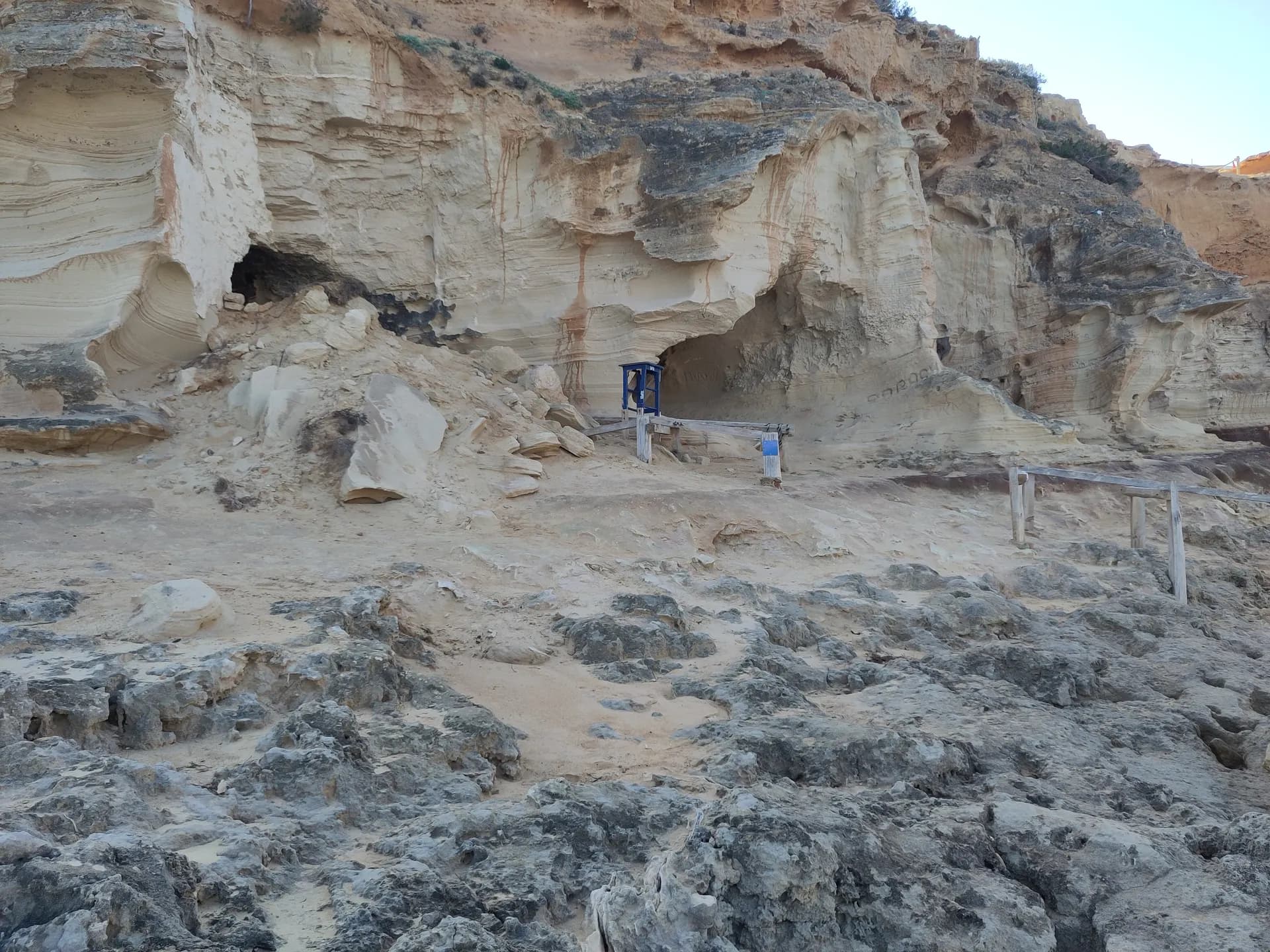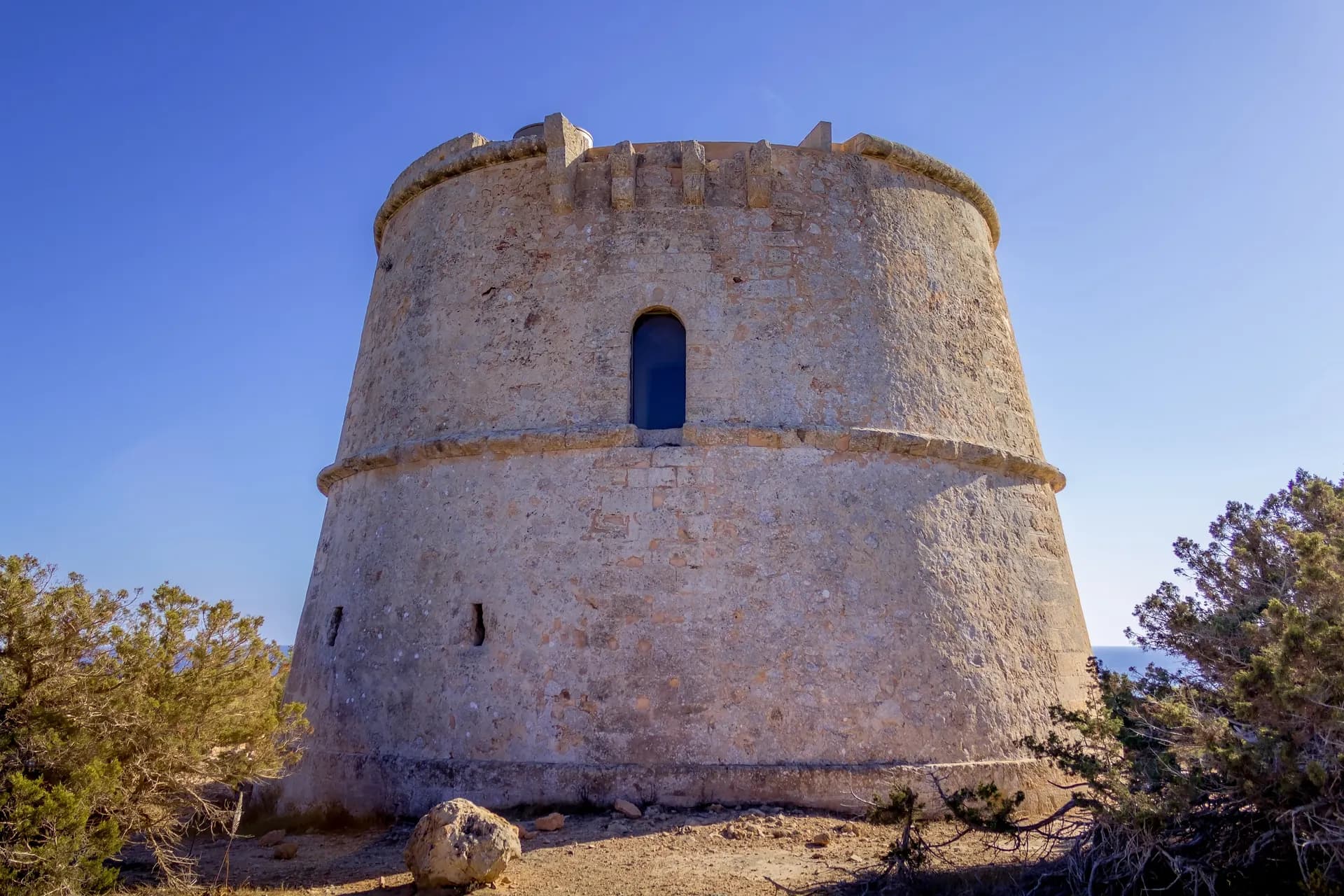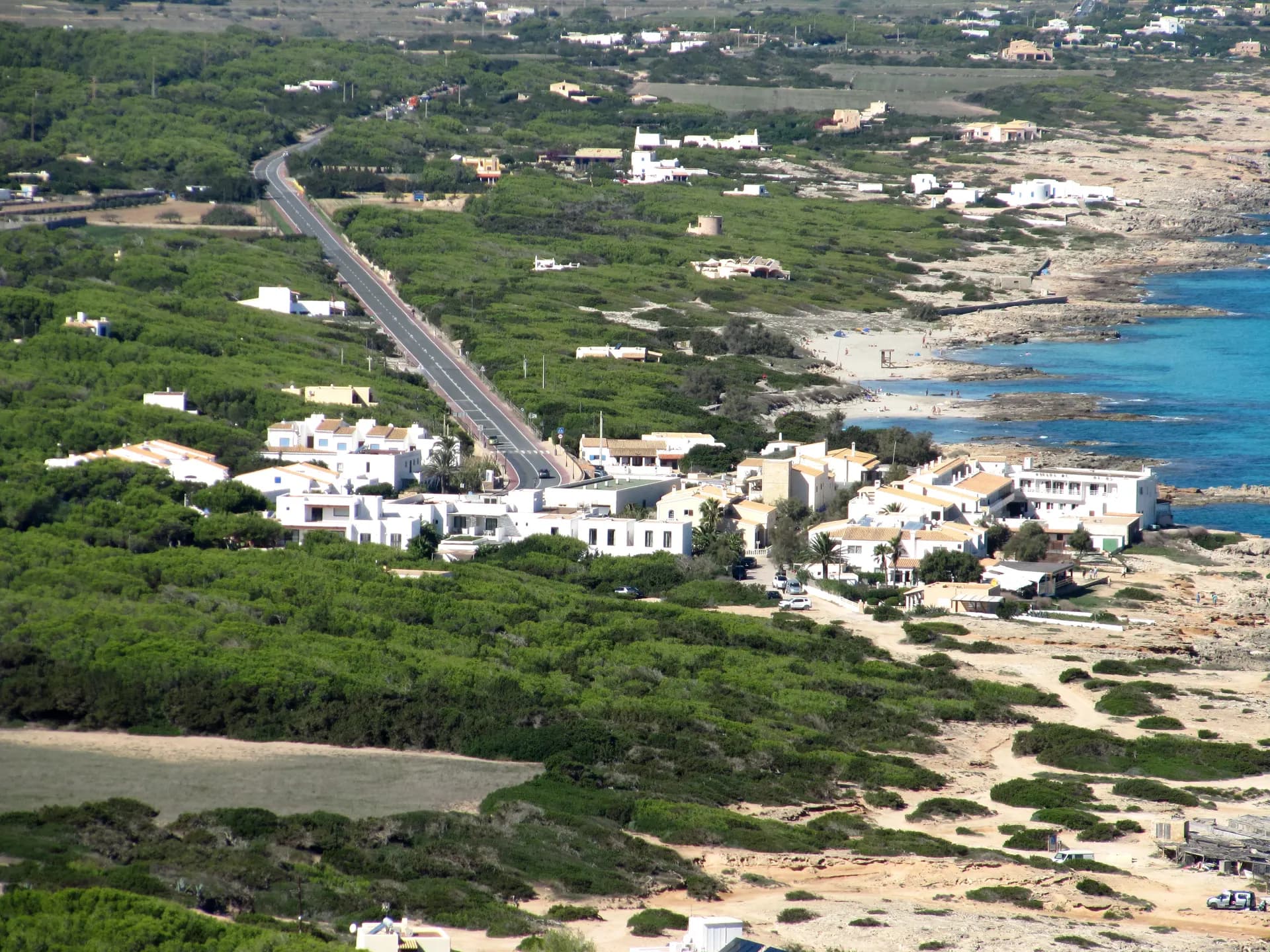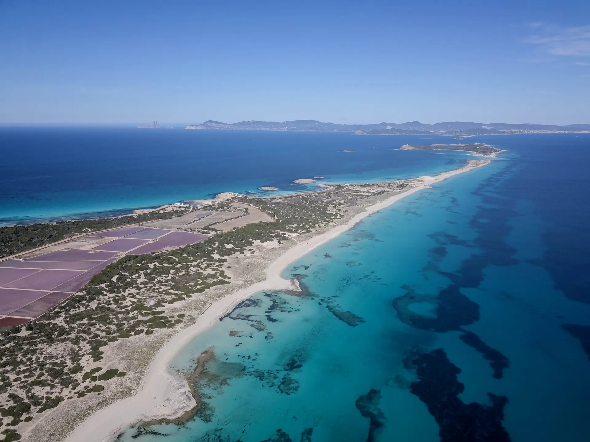

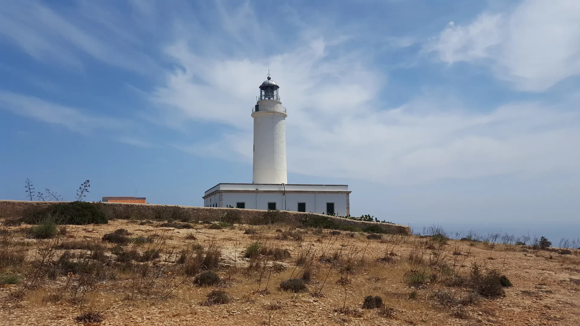

Platja de Tramuntana, also known as Es Carnatge or the Costa des Carnatge, is a 2 km stretch of rocky shore on the north coast of Formentera between Cala en Baster and Es Caló de Sant Agustí. The north coast beyond Punta Prima towards La Mola is called the Tramuntana coast because of its north-facing orientation, and this beach takes the name. The nearest town is Sant Ferran de ses Roques, and the marina at La Savina is 9.8 km away.
The shore
Rock, gravel and sand along roughly 2,000 metres, with an average width of 30 metres, white sand in the pockets and calm swimming conditions. The shore is low and open to the north. Occupancy is low.
Getting there
By car or on foot, and access on foot is easy. The shore lies off the main road between Sant Ferran de ses Roques and Es Caló de Sant Agustí. No bus stops at the beach itself; the L2 and L7 stop at Es Caló de Sant Agustí at the eastern end of the coast and in Sant Ferran de ses Roques.
Parking and access rules
The beach is outside the Ses Salines natural park and there is no vehicle fee.
Services
None, apart from a litter bin. Bring water and shade.
When to go
On days when the wind is from the south or west. The shore faces north, so a Tramuntana, the north wind, blows straight on to it, and the sea on this coast turns rough when it blows hard; in summer the usual calm prevails. It is the coast to choose when you want rock to swim from and nobody around.
Nearby
Cala en Baster is the rocky cove at the western end of this coast, 7.4 km from the marina. Es Caló de Sant Agustí, with Platja des Caló and the coves of Ses Platgetes, is at the eastern end before the cliffs of La Mola. Sant Ferran de ses Roques is the nearest town inland.