
Green route 24
Es Caló - Maryland
1.4 kmLength
10 minBy bike
25 minOn foot
ModerateDifficulty
Surface
1.2 km paved0 km gravel or earth
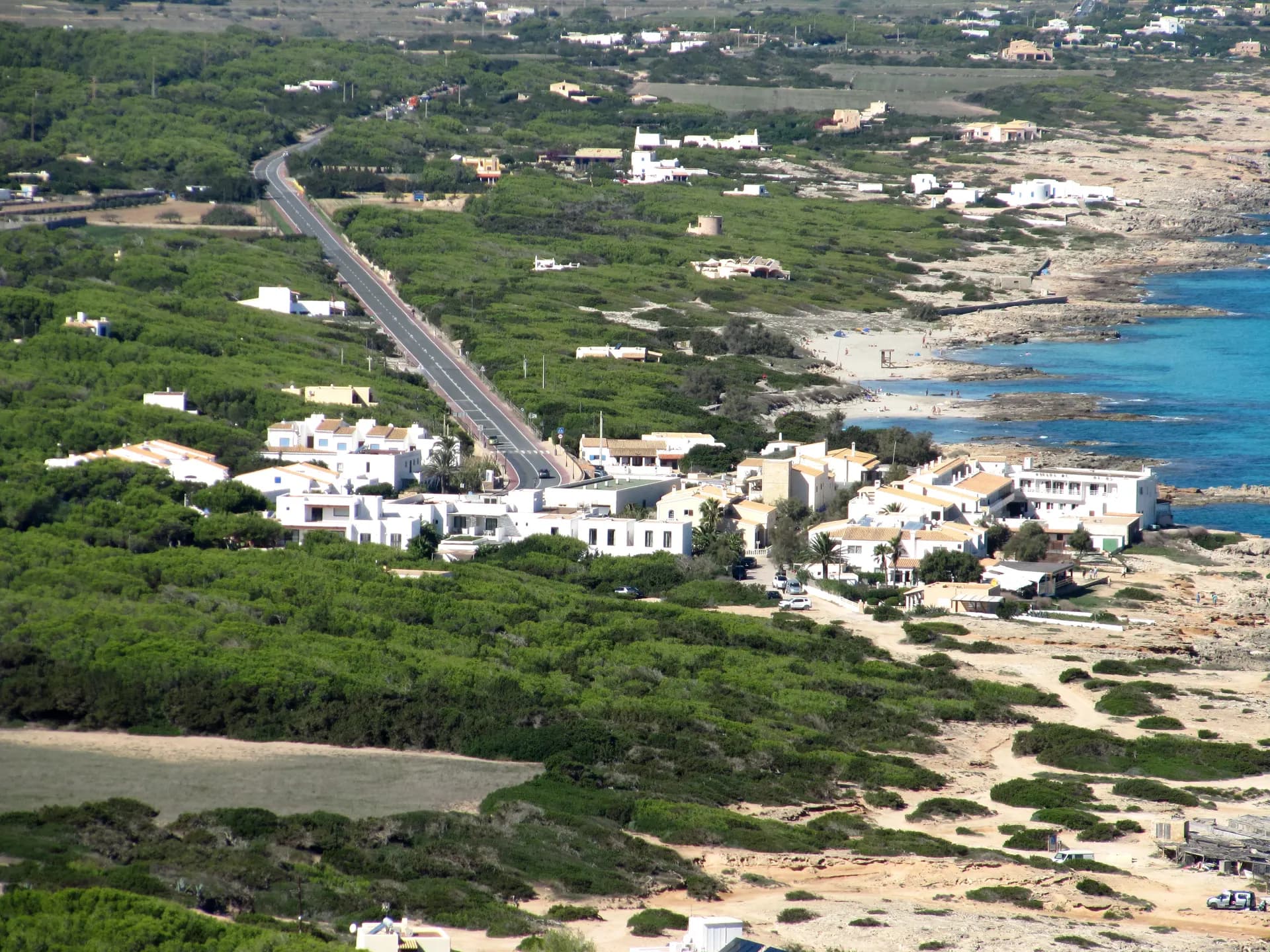
Just before the climb to La Mola, the north and south coasts almost touch, and this route links them on a gentle slope. It leaves Es Caló de Sant Agustí, known for its fishing pier, beside pine and juniper woods and comes out at Es Copinar, one of the last beaches of Migjorn: quiet, with clear water and white sand. Past the hotels are family restaurants and one of the island's best-known beach kiosks. A little further, beyond a steep rocky stretch, lies the small cove of Es Caló des Mort.
Early on, green route 25 turns off up the old path to El Pilar de la Mola.
On the way
Where to eat on the way
Carry on from here
Frequently asked questions
How long is green route 24, Es Caló - Maryland?
1.4 km: about 10 minutes by bike or 25 minutes on foot.
Can you cycle green route 24?
Yes. It is for bikes and walkers, and its official difficulty is moderate.
Short link
Share this address or put it on your website. It opens this page in each visitor's language.
formentera.com/es-calo-marylandSources (2)
- Es Caló - Maryland (formentera.es), checked 6 November 2026
- Route lines and surfaces: OpenStreetMap contributors (ODbL)