
Green route 21
Sant Ferran - Cala en Baster - Migjorn
4.2 kmLength
20 minBy bike
60 minOn foot
EasyDifficulty
Surface
1.6 km paved2.6 km gravel or earth
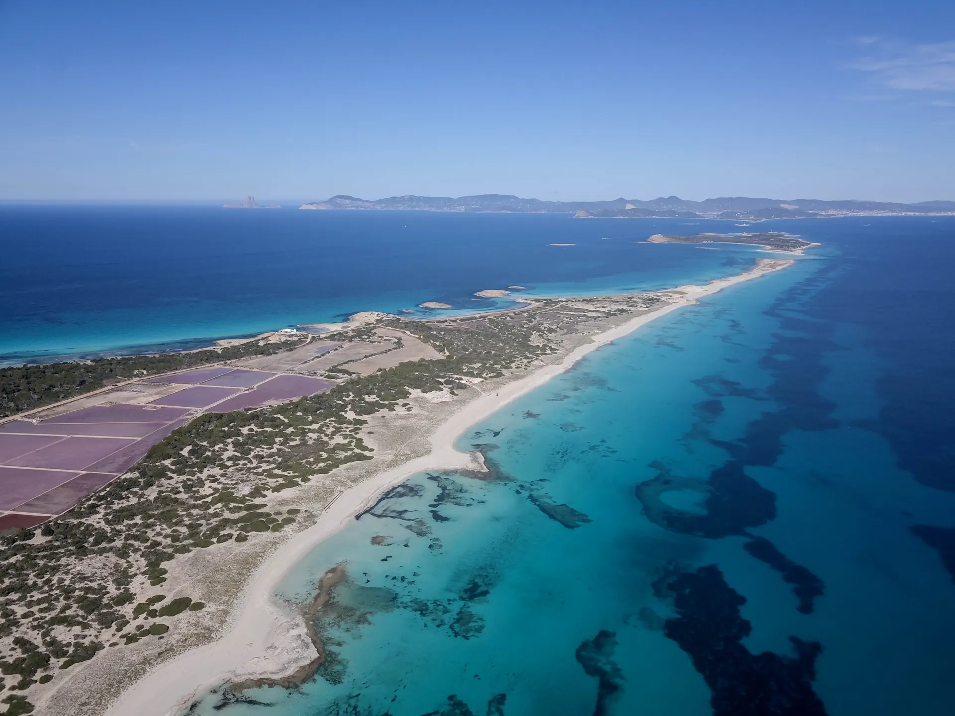
The route starts in Sant Ferran de ses Roques, with its church, its square and Fonda Pepe, the heart of the hippie scene in the seventies. It heads first for the low rocky north coast and Cala en Baster, a fishermen's cove under high limestone walls, with very clear water, marés rock worn into odd shapes by the wind and boat sheds cut into it like caves.
From there the route turns south along farm paths, past fig trees propped on estalons, small flocks and family orchards behind stone walls, and ends at Platja de Migjorn, the longest beach on Formentera.
How long to plan
1 hrOn foot
20 minsBy bike
The official times, without stopping.
On the way


Where to eat on the way
Frequently asked questions
How long is green route 21, Sant Ferran - Cala en Baster - Migjorn?
4.2 km: about 20 minutes by bike or 60 minutes on foot.
Can you cycle green route 21?
Yes. It is for bikes and walkers, and its official difficulty is easy.
Short link
Share this address or put it on your website. It opens this page in each visitor's language.
formentera.com/sant-ferran-cala-en-baster-migjorn