
Green route 20
Es Pujols - Es Ca Marí
5.1 kmLength
35 minBy bike
90 minOn foot
ModerateDifficulty
Surface
3.9 km paved1.2 km gravel or earth
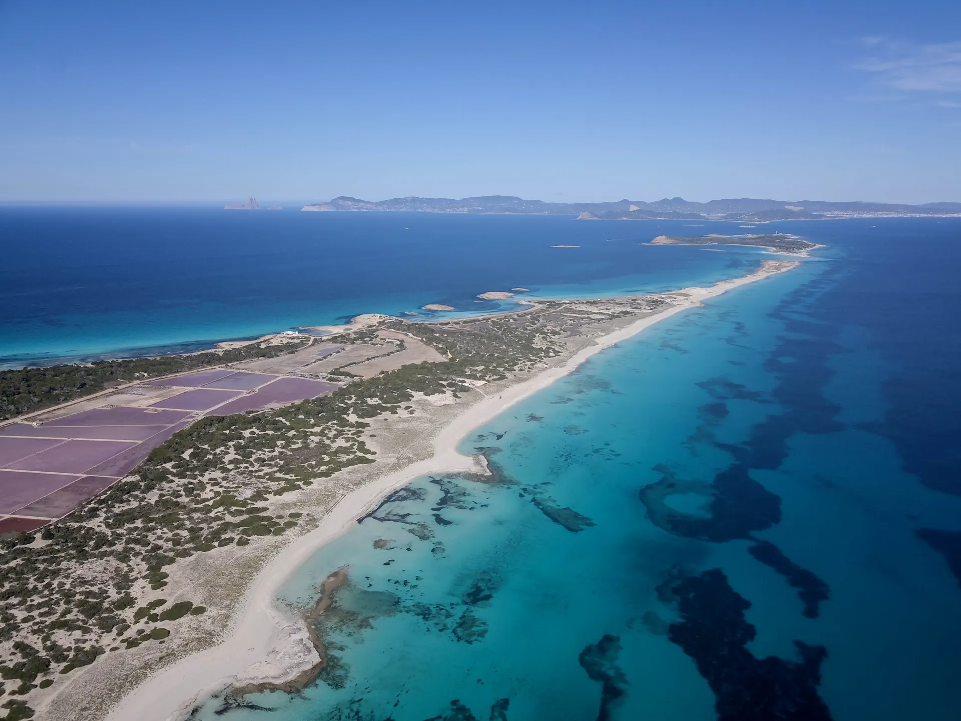
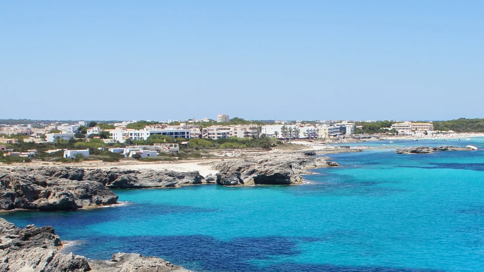
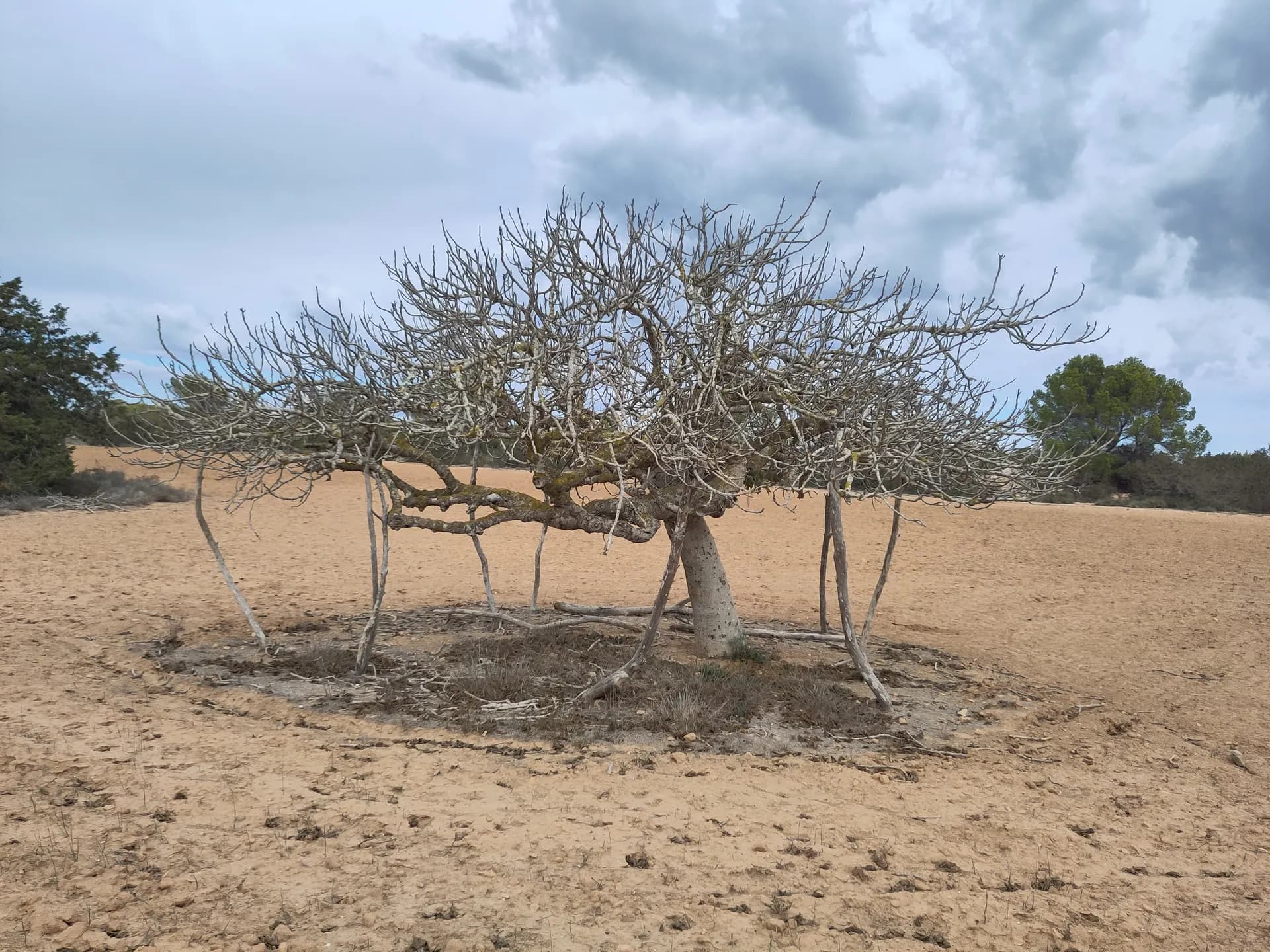
This route crosses the island from one coast to the other, from Es Pujols to Es Ca Marí. It starts among the boat sheds of Es Pujols, a reminder of the years before tourism, beside a white sand beach scattered with rocks and tiny islets. It then heads south on inland paths between dry stone walls, far from the summer crowds.
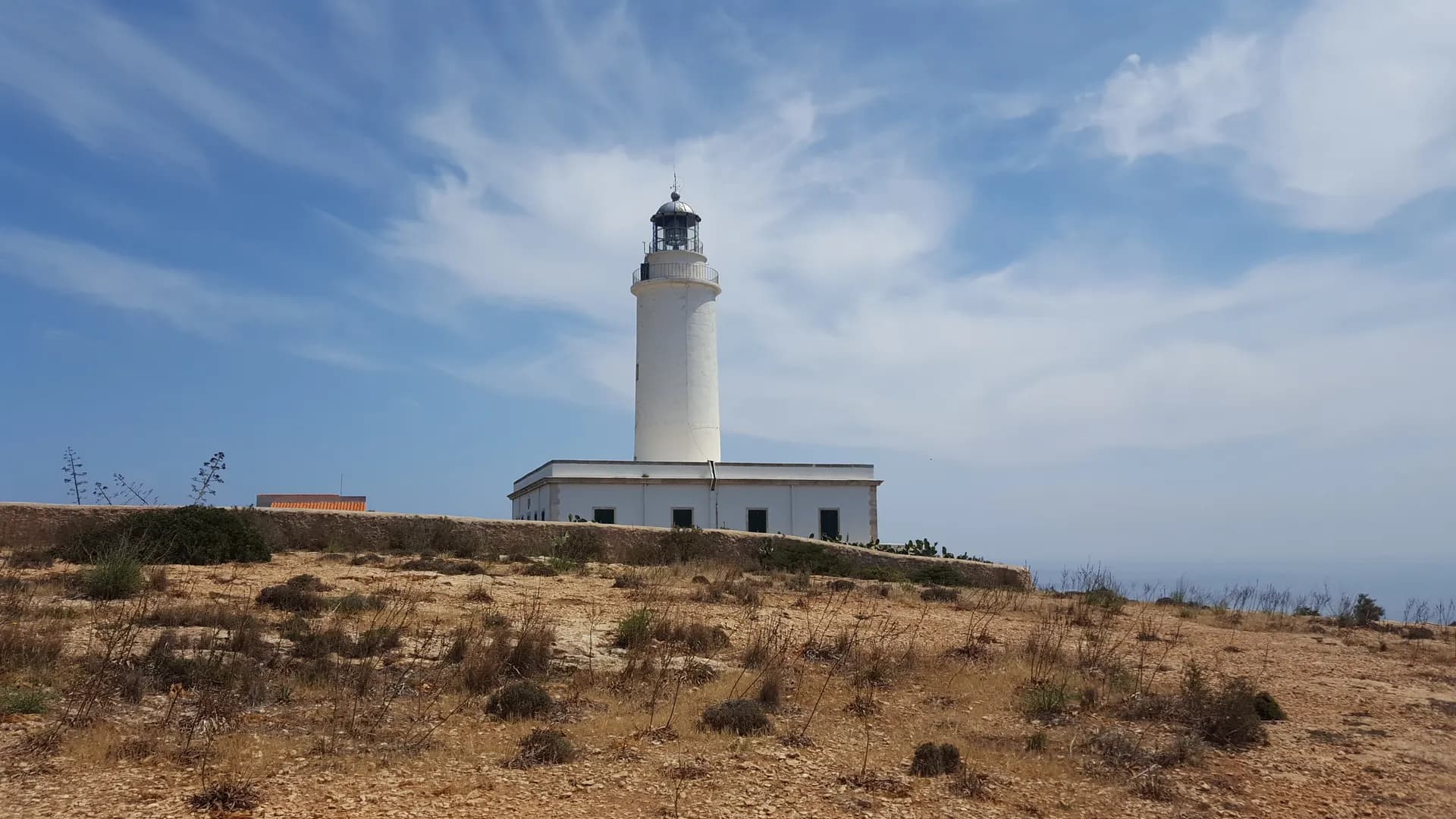
It reaches Es Ca Marí on Platja de Migjorn, the island's other great stretch of sand. Close by stands Torre des Pi des Català, one of the defence towers, with views of both high ends of Formentera, Es Cap and La Mola.
How long to plan
1 hr 30 minsOn foot
35 minsBy bike
The official times, without stopping.
On the way
Where to eat on the way
Carry on from here
Frequently asked questions
How long is green route 20, Es Pujols - Es Ca Marí?
5.1 km: about 35 minutes by bike or 90 minutes on foot.
Can you cycle green route 20?
Yes. It is for bikes and walkers, and its official difficulty is moderate.
Short link
Share this address or put it on your website. It opens this page in each visitor's language.
formentera.com/es-pujols-es-ca-mariSources (2)
- Es Pujols - Es Ca Marí (formentera.es), checked 6 November 2026
- Route lines and surfaces: OpenStreetMap contributors (ODbL)