
Green route 19
Es Pujols - Ses Illetes
4.6 kmLength
On foot onlyBy bike
90 minOn foot
HardDifficulty
Surface
0 km paved4.7 km gravel or earth
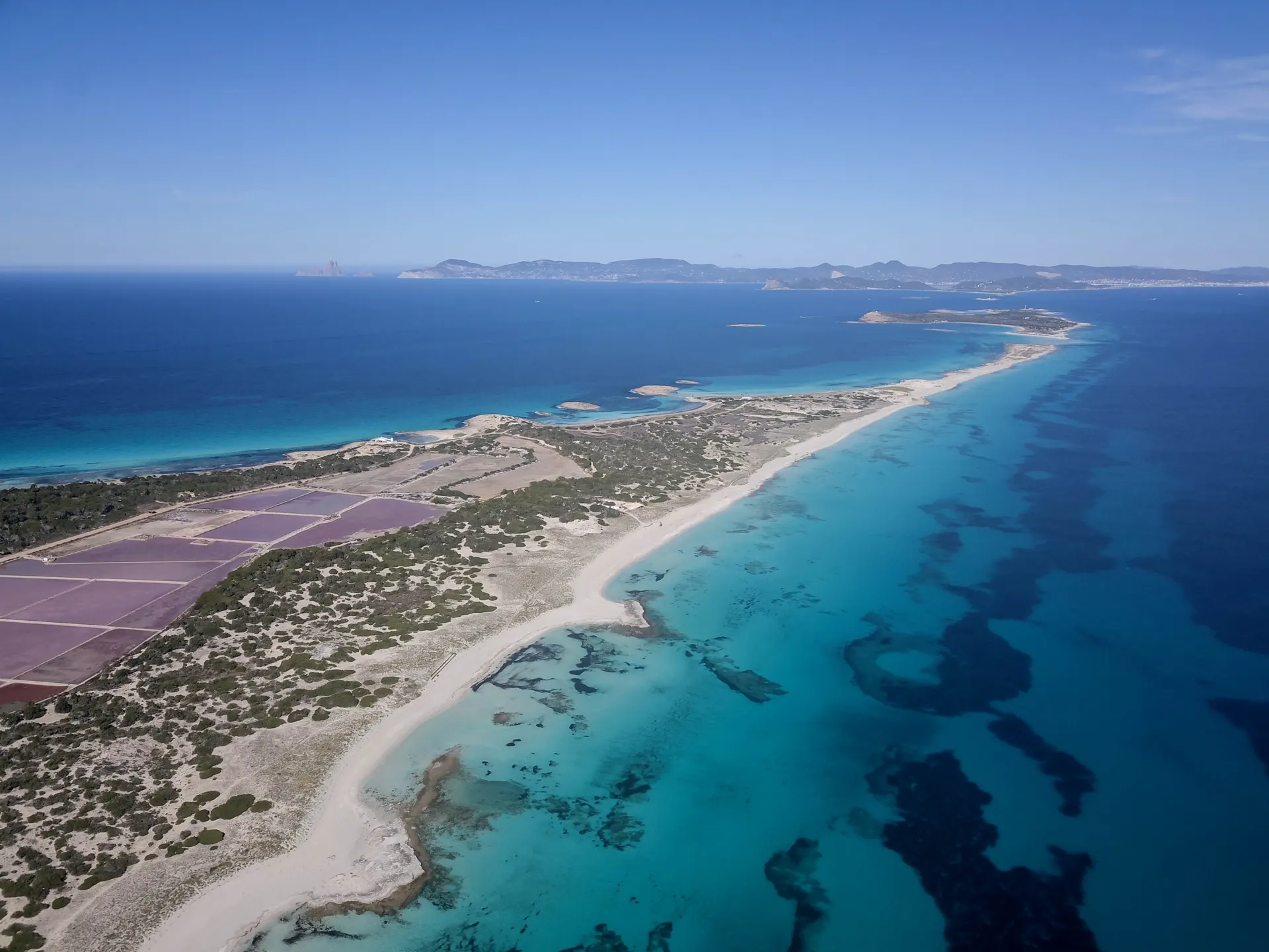
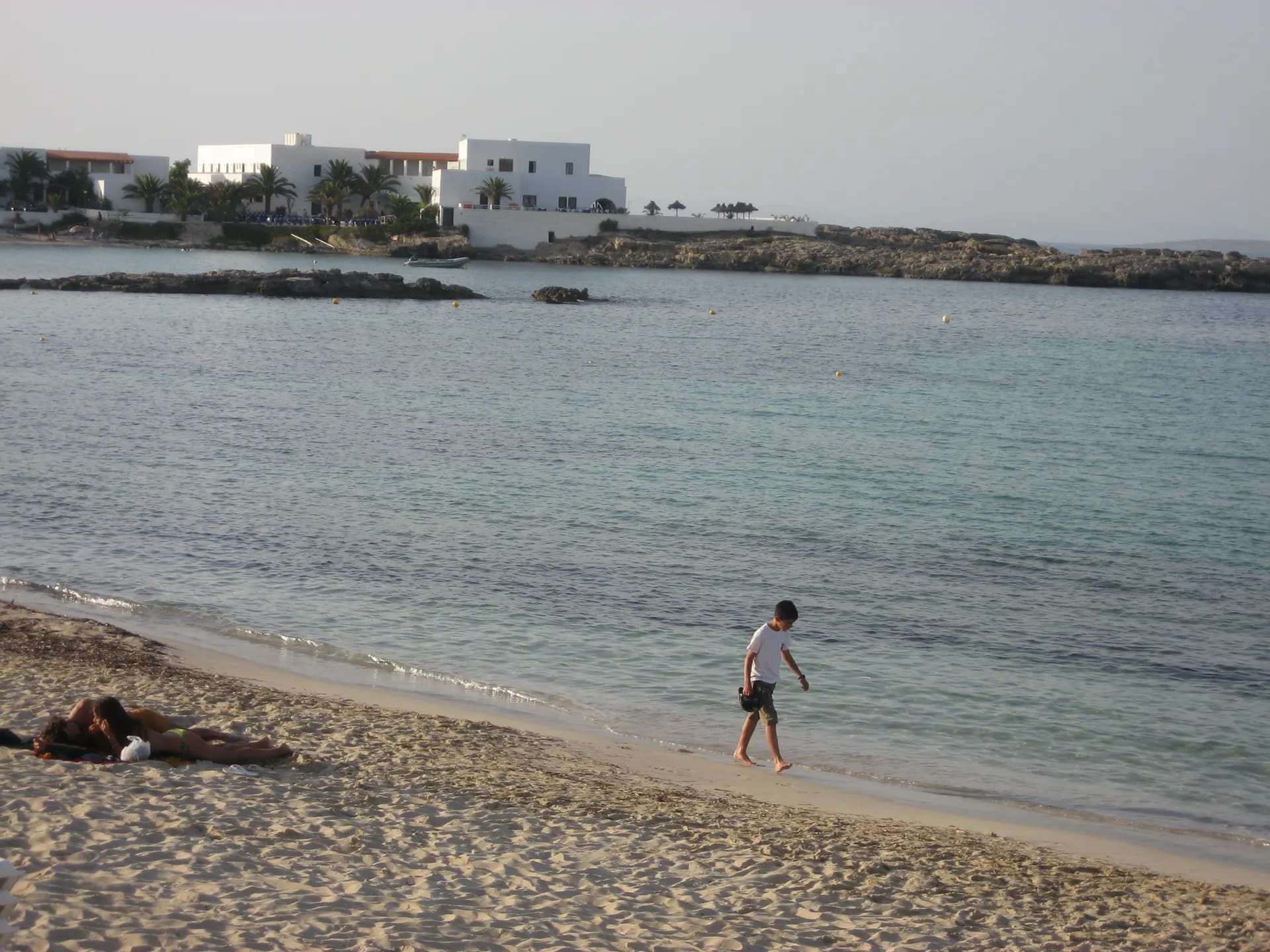
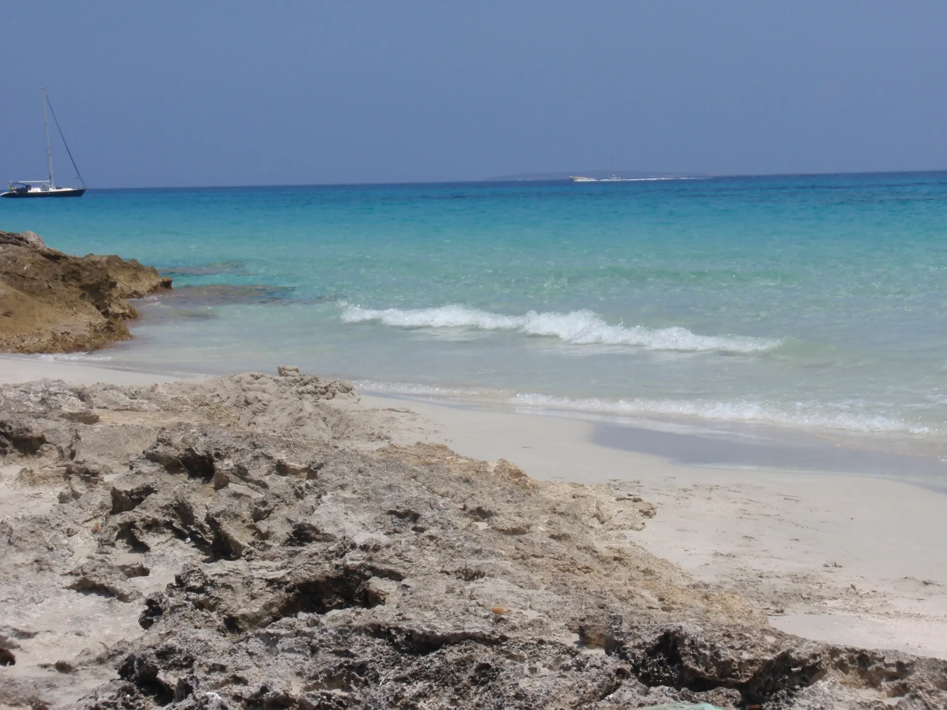
This route is for walking only. It heads north along Es Trucadors, the long sand spit, with Platja de Llevant on the east side and Ses Illetes and Es Cavall d'en Borràs on the west. Llevant is fine white sand and can have waves, since the summer wind usually blows from the east. Ses Illetes, sheltered by the dunes, is usually calm, dotted with the islets that give it its name.
All of it lies inside the Ses Salines natural park, with nothing built but a few beach kiosks. Near the end the two beaches almost meet, and S'Espalmador lies just across the water.
How long to plan
1 hr 30 minsOn foot
On foot onlyBy bike
The official times, without stopping.
On the way
Where to eat on the way
Carry on from here
Part of these trails
Frequently asked questions
How long is green route 19, Es Pujols - Ses Illetes?
4.6 km: about 90 minutes on foot.
Can you cycle green route 19?
No. It is for walking only, and its official difficulty is hard.
Short link
Share this address or put it on your website. It opens this page in each visitor's language.
formentera.com/es-pujols-ses-illetesSources (2)
- Es Pujols - Ses Illetes (formentera.es), checked 6 November 2026
- Route lines and surfaces: OpenStreetMap contributors (ODbL)