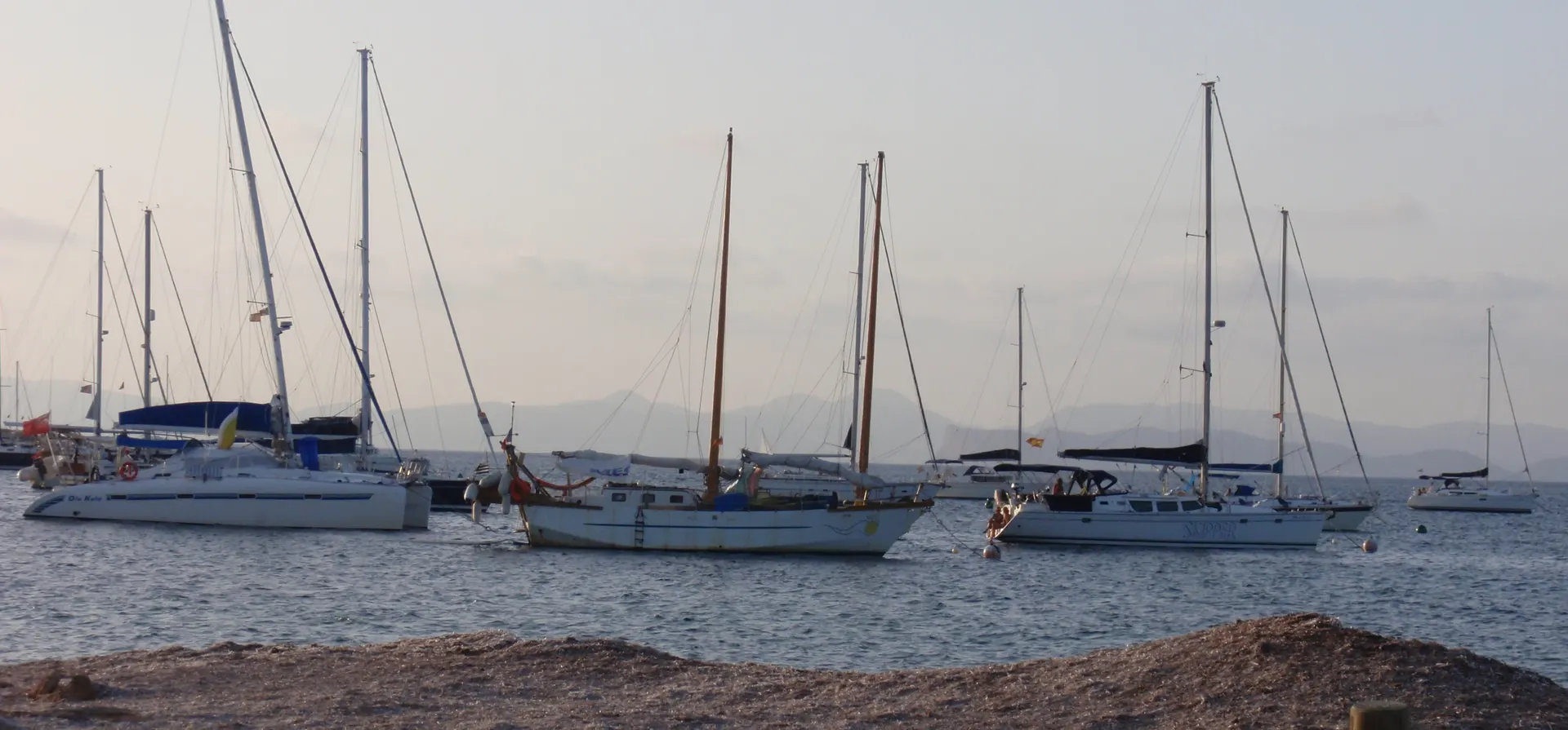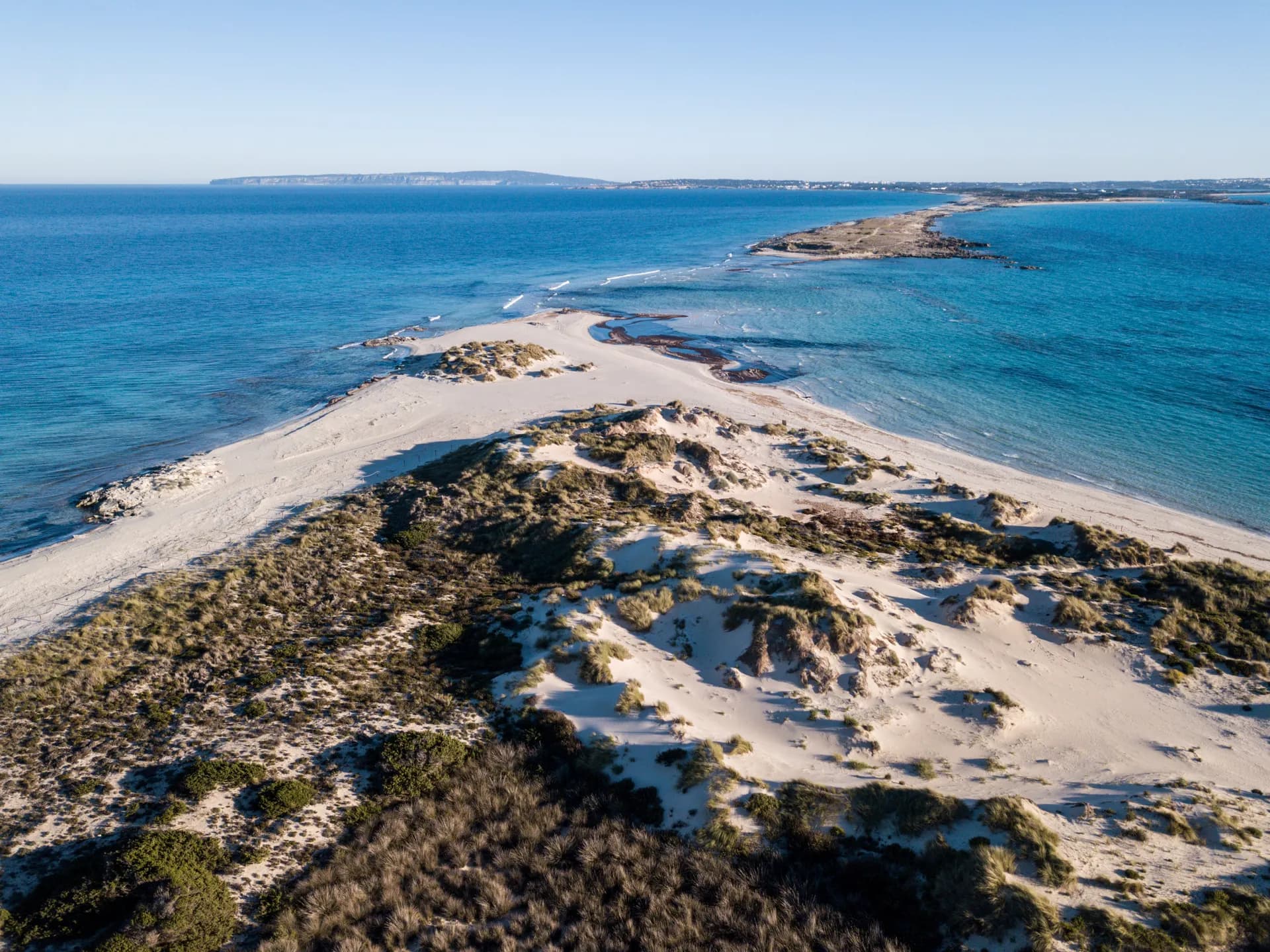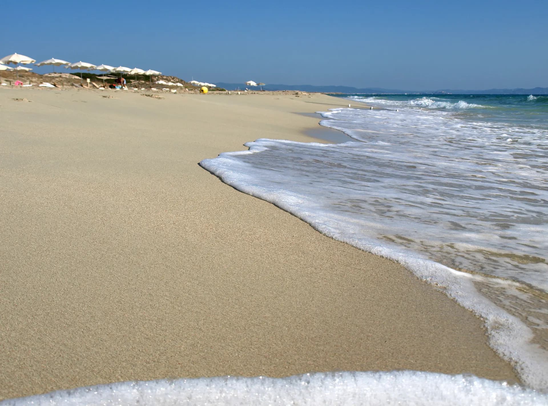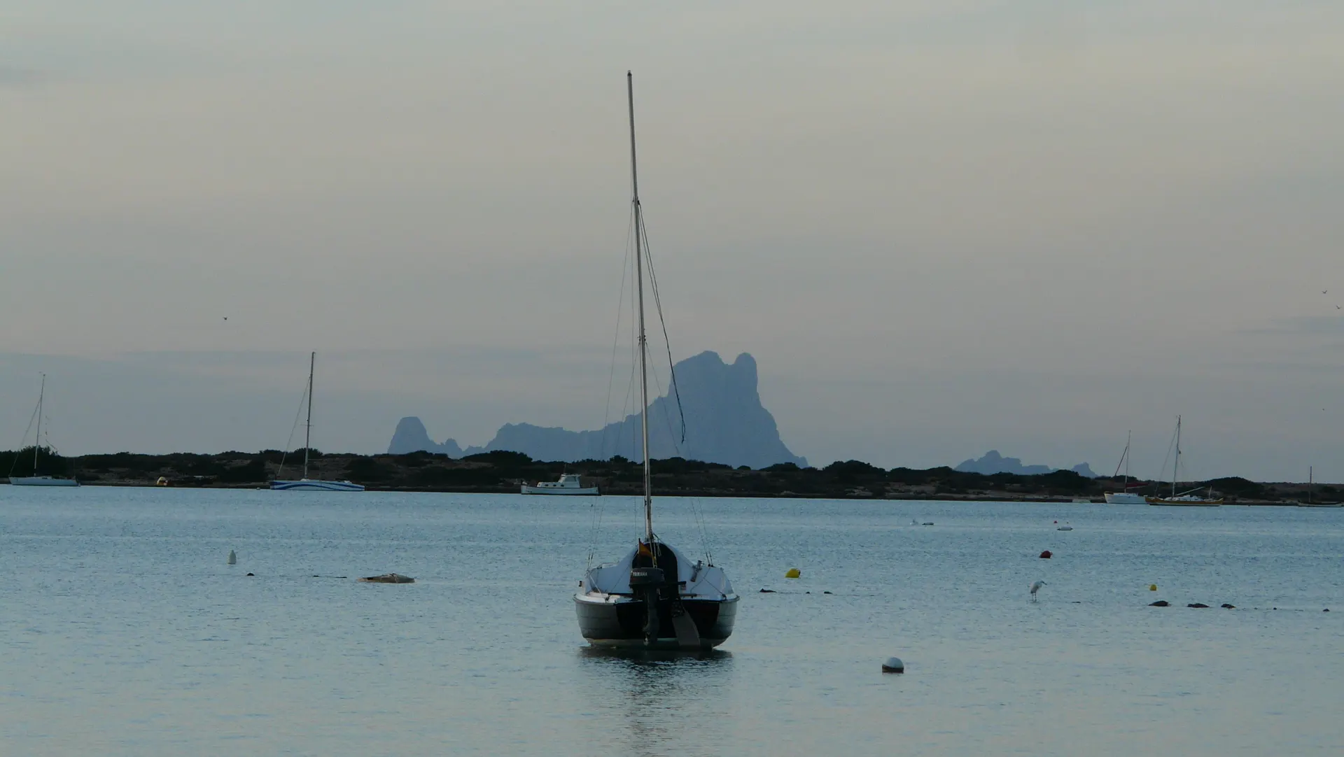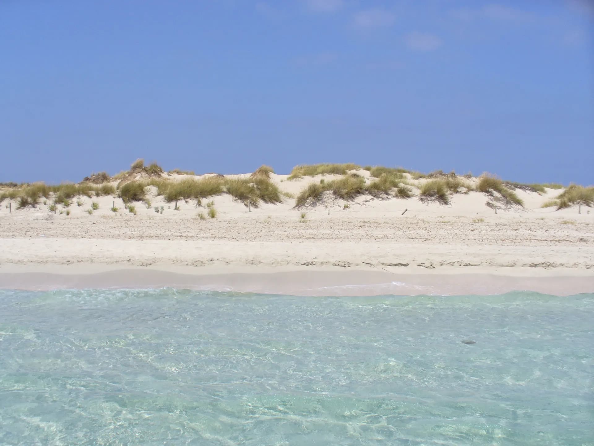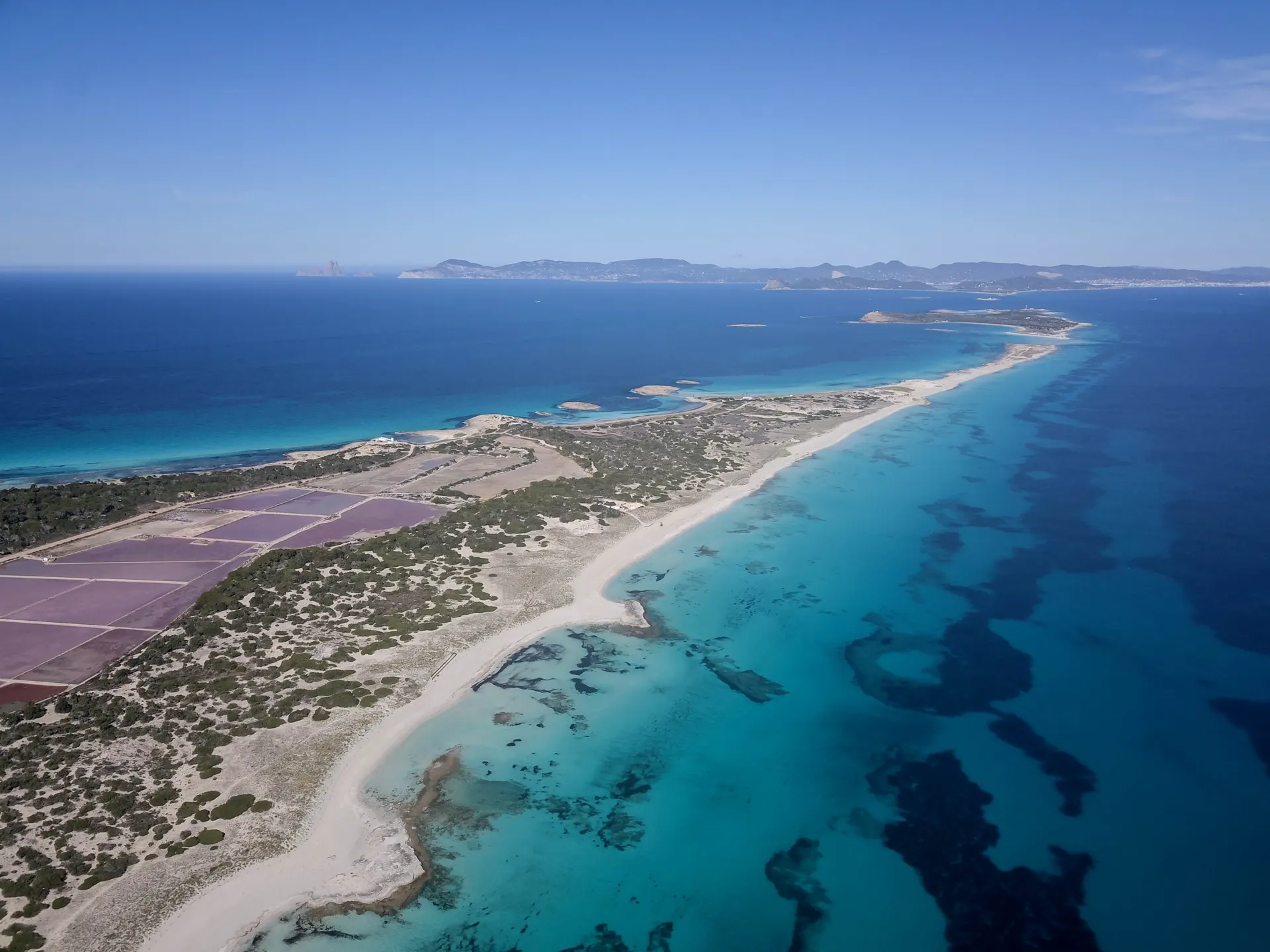

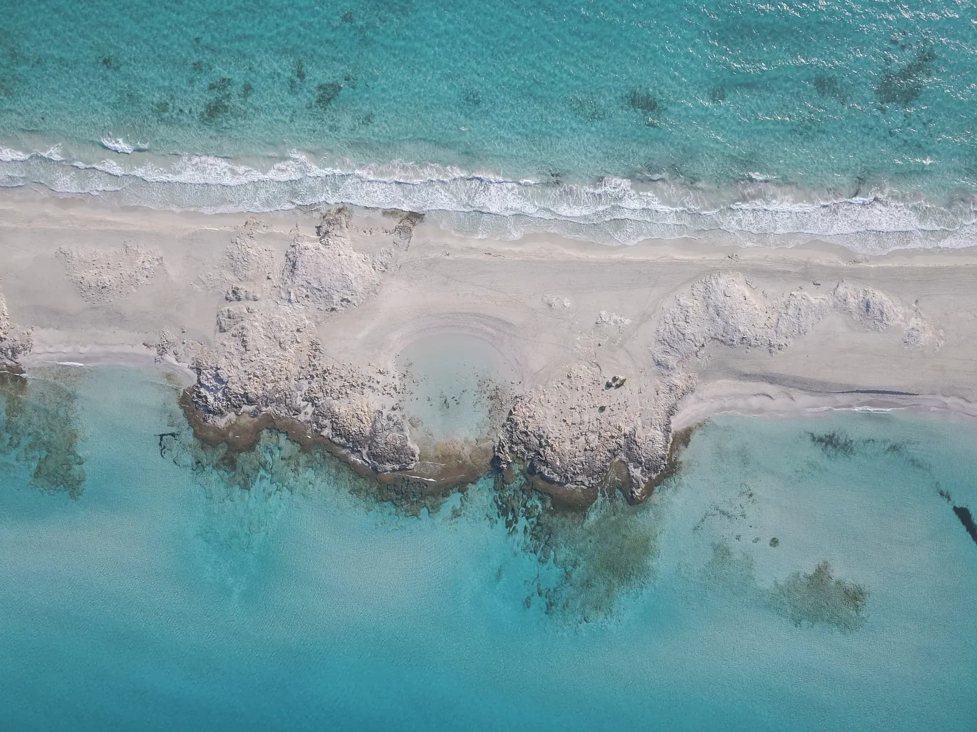
Platja des Trucadors, also written Es Pas des Trucadors, is the slender tongue of white sand at the northern tip of Formentera, where the Es Trucadors peninsula narrows to a strip with sea on both sides. It points towards S'Espalmador, lies inside the Parc Natural de ses Salines d'Eivissa i Formentera and is reached on foot from Ses Illetes. The nearest town is La Savina.
The beach
Pale sand with an intense turquoise sea on either side: Ses Illetes to the west and Platja de Llevant to the east. The tip is roughly 700 m long and 30 m wide. Because the strip is so narrow you can lie between the two coasts and choose the calmer side depending on the wind. The light at sunrise and sunset is the best of the day.
At the very end the sand drops into Es Pas, the channel between Formentera and S'Espalmador. It looks shallow, but the currents are strong and crossing on foot is forbidden.
Getting there
There is no road to the tip. Drive, ride or cycle to Ses Illetes from La Savina (about 4 km along the road beside Estany Pudent), or take the Bus Turístic L3 or the L7 to the Illetes stop, then walk north along the sand. Platja de Llevant joins the same strip from the east side, so you can also approach from there.
Parking and access rules
The car parks are those of Ses Illetes, inside the natural park. In 2026 vehicle access control runs from 10 May to 15 October: a non-resident car pays 5 EUR a day and a motorbike 3 EUR in May, early June and from mid September; 6 and 4 EUR from 16 June to 15 July and from 1 to 15 September; 7 and 5 EUR from 16 July to 31 August. Pedestrians, bicycles, electric vehicles and Formentera residents pay nothing, hybrids pay half, and quads are banned. The car parks hold at most 384 cars and 1,132 motorbikes.
Services
None on the sand tongue. Bring water and shade; the nearest restaurants and sunbeds are back at Ses Illetes.
When to go
Early morning and the last hour of the day, when the light is at its best and the crowds of Ses Illetes have thinned. In summer the walk north is the easiest way to leave the busiest part of the peninsula behind. When the wind blows from the east, keep to the western side of the strip; when it blows from the west, the Llevant side is the calmer one.
Nearby
Ses Illetes and Platja de Llevant run down the two sides of the peninsula behind you. Across the channel lies S'Espalmador with Platja de s'Alga on its western shore. Es Cavall d'en Borràs is the beach between Ses Illetes and the port of La Savina.