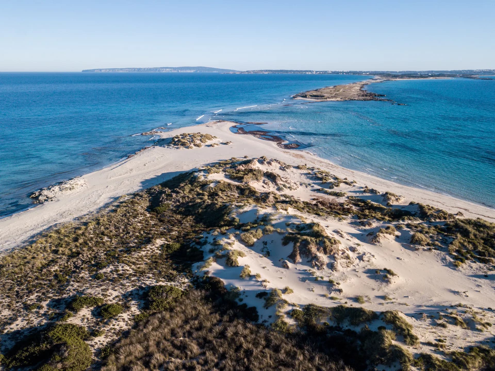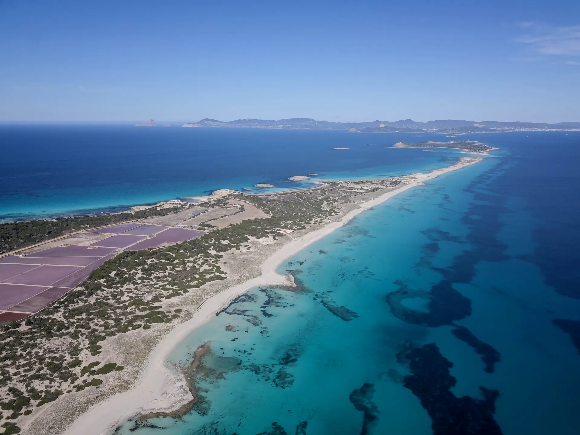

Platja de s'Alga is the main beach of S'Espalmador, the small protected island that lies just north of the Es Trucadors peninsula, across the channel from Platja des Trucadors. The beach and the neighbouring Racó de s'Alga lie on the western side of the island, about a kilometre of fine white sand inside the Parc Natural de ses Salines d'Eivissa i Formentera. There is no town on the island; the nearest is La Savina, from which the boats leave. This page covers the beach itself; how to land, where to moor and what you may do on land are explained on the page for S'Espalmador.
The beach
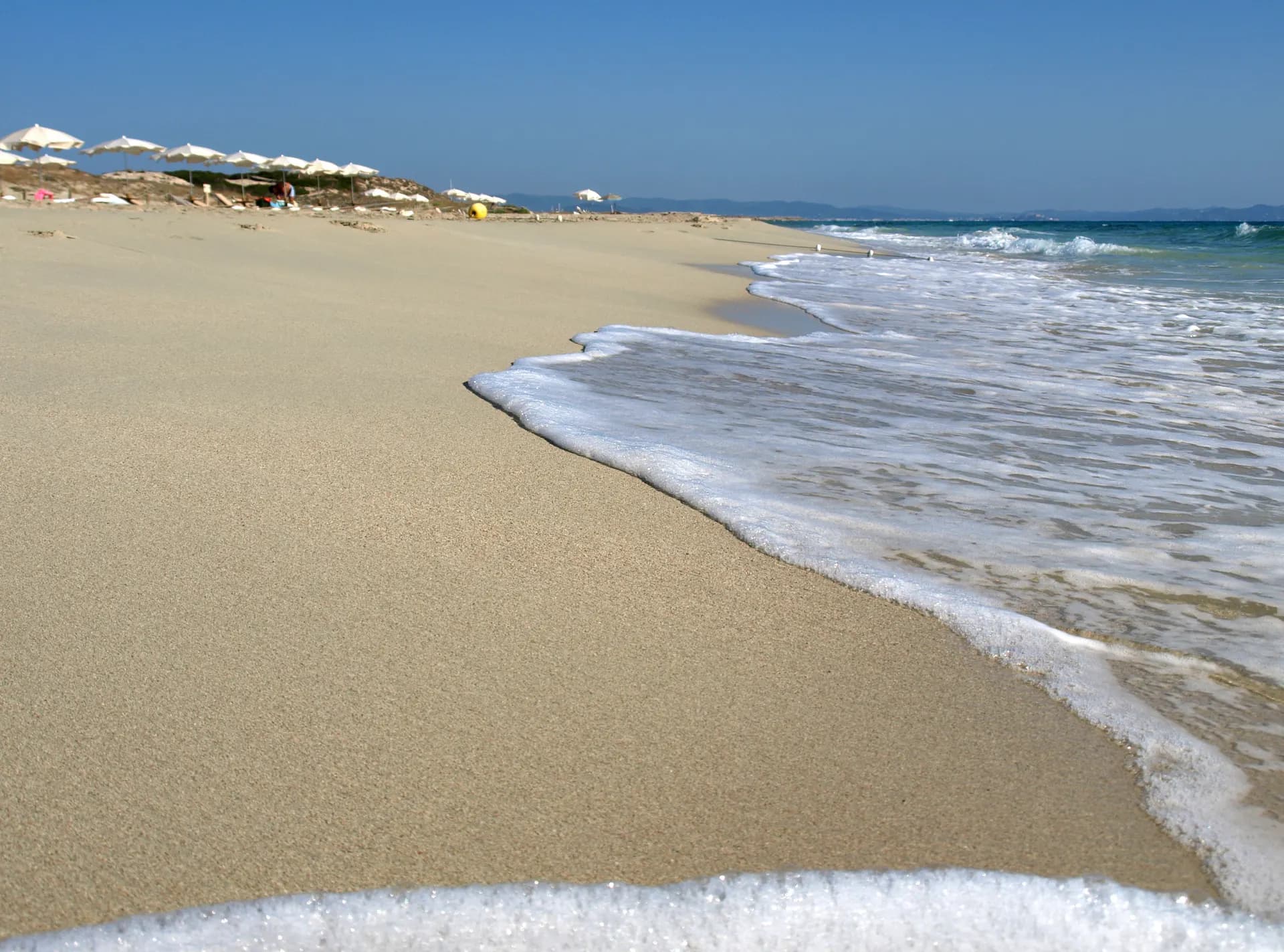
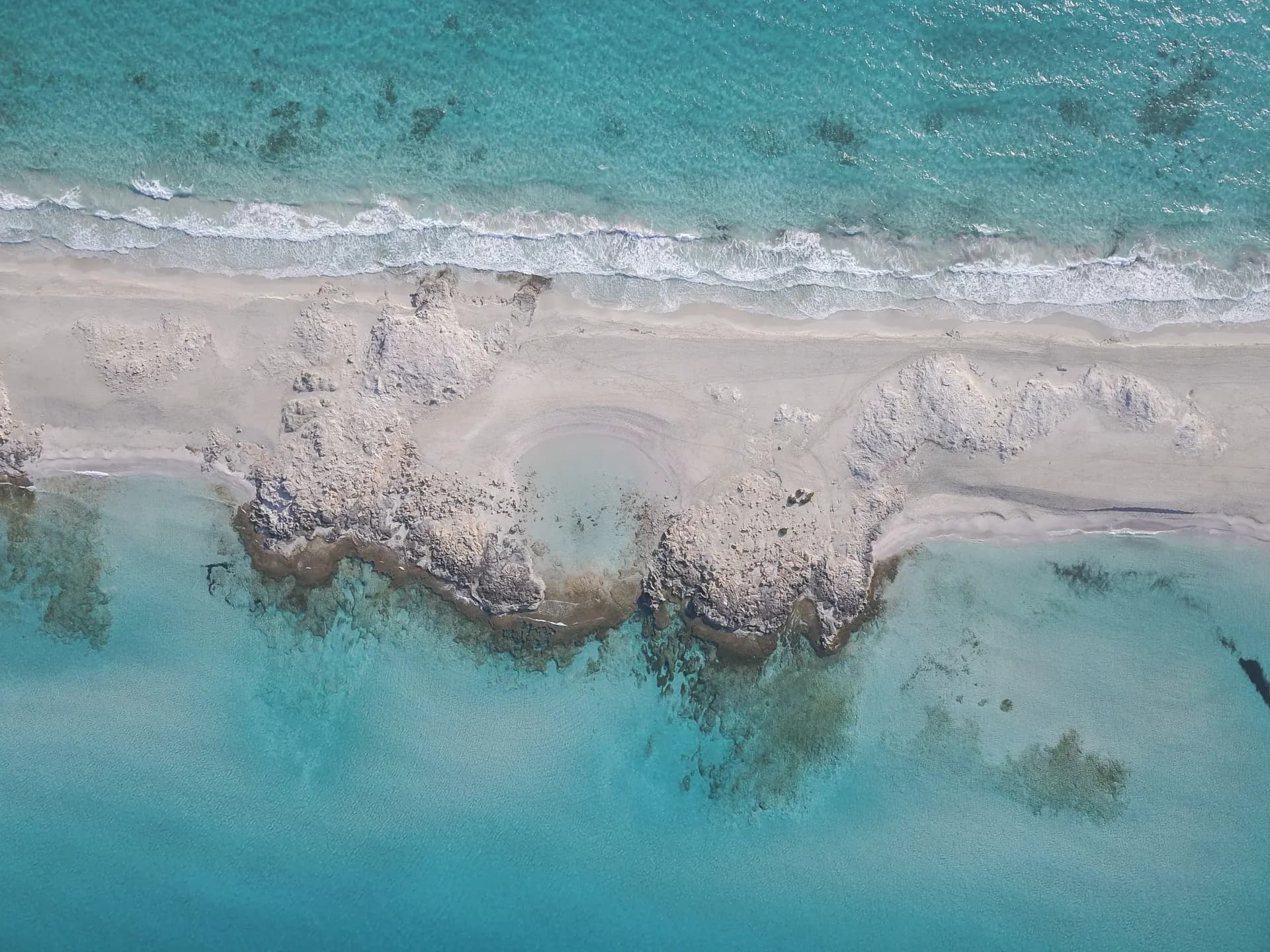
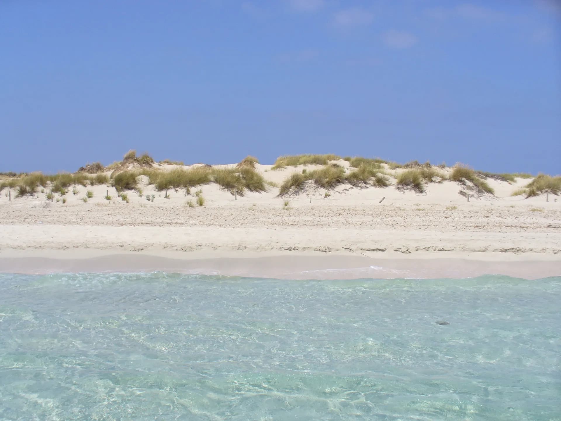
Fine white sand along roughly 1,000 metres of shore, backed by a vast dune system on which juniper bushes grow. The water is clear and shallow. The beach is 90 m wide. Racó de s'Alga is the jewel in the crown of Formentera, and the only signs of human life are Sa Torreta, an 18th century guardhouse, and a farmhouse.
The island is about 2 km2 and privately owned, but it lies inside the Parc Natural de ses Salines d'Eivissa i Formentera, and Ley 17/2001 declares its representative zones a nature reserve. The public shore is open to everyone; inland, the only way is the signposted path to the lagoon. Bathers used to coat themselves in mud from the inner lagoon; bathing in the lagoon and using that mud are now prohibited.
Getting there
By boat only. Daily boats run from La Savina, stopping at Ses Illetes on the way, and many visitors come on their own or a chartered boat; where to moor in the bay is explained below. People have crossed from Formentera on foot at very low tide, but the currents at Es Pas des Trucadors are strong and crossing on foot is forbidden.
Anchoring and buoys
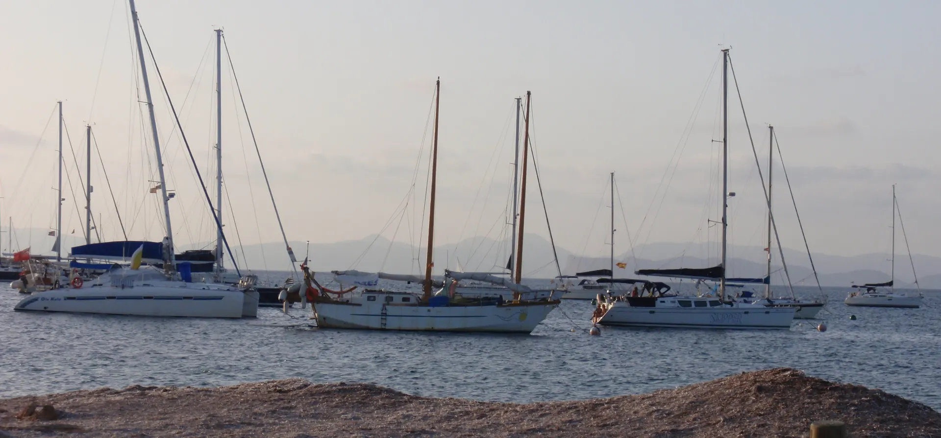
If you come on your own boat, do not drop anchor wherever you like. In s'Alga bay there is the regulated buoy field Badia de s'Alga - s'Espalmador, run by Ports de les Illes Balears (PortsIB), and buoys are booked only through the PortsIB reservation platform. In 2025 the season ran from 1 June to 30 September, extendable to 15 October. Anchoring is allowed only in the permitted zones, on sand, and never on Posidonia seagrass.
Parking and access rules
There are no roads and no parking; you leave your vehicle at La Savina or at the Ses Illetes car parks. Boats may land only through the entry and exit channels. On land the rules are stricter than on the beaches of Formentera, because the island is a nature reserve: walk only on the public shore and on the signposted path to the lagoon, leave the dunes alone and do not take mud from the lagoon. The full list of rules is on the page for S'Espalmador.
Services
None. There are no restaurants, sunbeds, toilets or showers on S'Espalmador. Take water, food and shade with you and bring your rubbish back.
When to go
The boats operate daily in the season, so the beach is a day trip rather than a spontaneous stop. If you come on your own boat, the buoy field is open in summer (1 June to 30 September in 2025). The western shore of the island faces Formentera and the open sea to the west, so it is sheltered when the wind blows from the east, and the kilometre of sand gives everyone room even in summer.
Nearby
Platja des Trucadors is the tip of Formentera facing the island across the channel, with Ses Illetes and Platja de Llevant along the two sides of the peninsula behind it. The boats also call at Ses Illetes, and La Savina is the port of departure.