
Green route 3
La Savina - Cala Saona
5.5 kmLength
35 minBy bike
95 minOn foot
ModerateDifficulty
Surface
0.8 km paved4.7 km gravel or earth
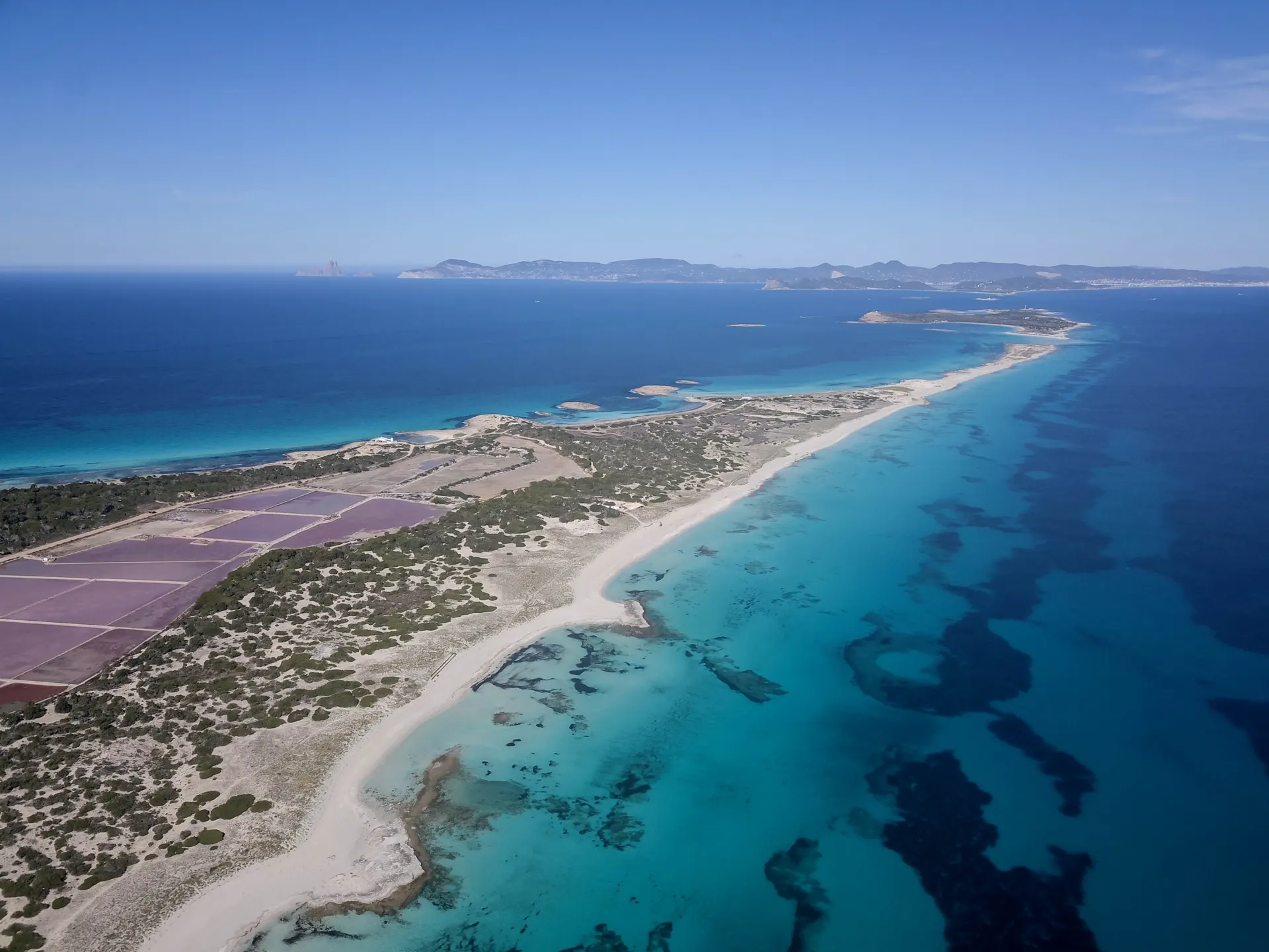
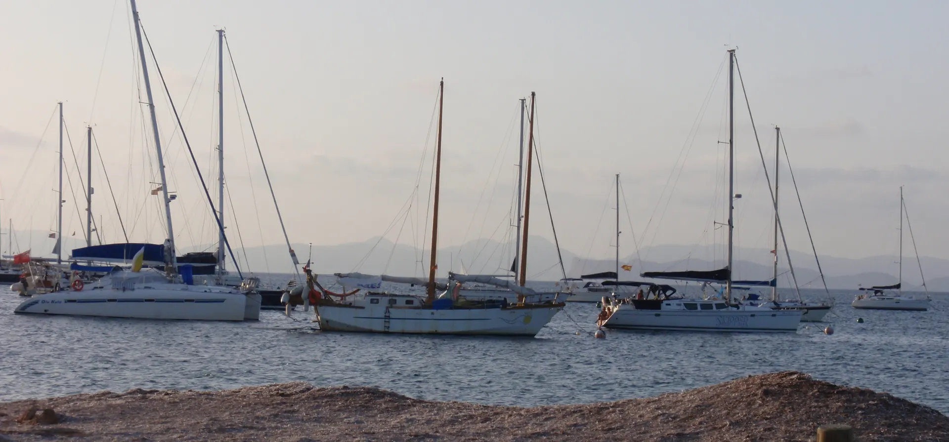
The route links La Savina and Cala Saona directly across the Porto-salè area. It starts by skirting Estany des Peix, a small lagoon whose narrow mouth lets shallow boats in to anchor, and a good place for kayaking or sailing. Then come fields, dry stone walls and traditional houses, and near the end the path reaches the cliffs and the view opens up.
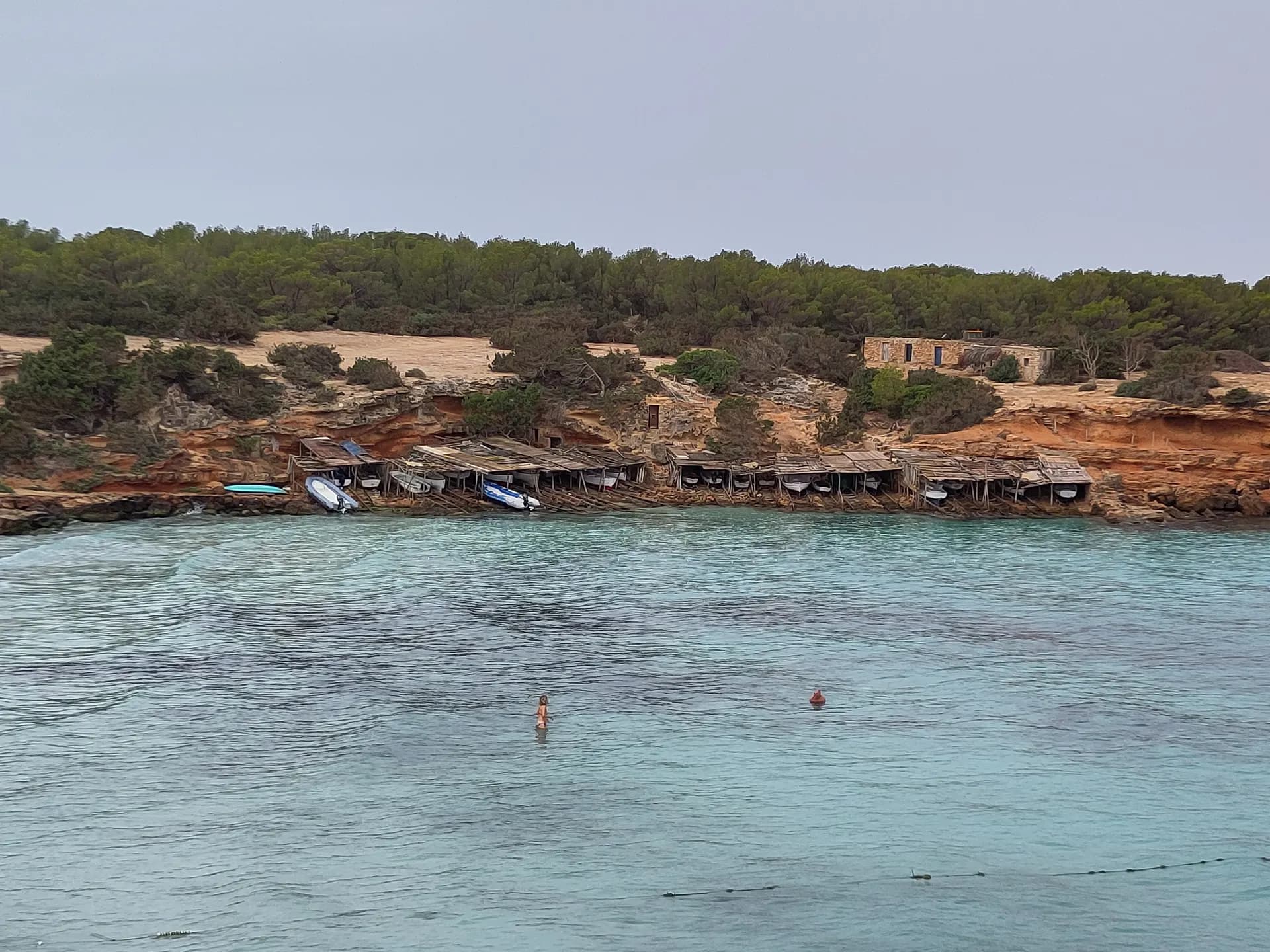
Cala Saona is a natural bay ringed by low cliffs, with many well-kept boat sheds and red rock against turquoise water. Stay for the sunset: on clear days you can often make out the Spanish mainland.
How long to plan
1 hr 35 minsOn foot
35 minsBy bike
The official times, without stopping.
On the way
Where to eat on the way
Carry on from here
Frequently asked questions
How long is green route 3, La Savina - Cala Saona?
5.5 km: about 35 minutes by bike or 95 minutes on foot.
Can you cycle green route 3?
Yes. It is for bikes and walkers, and its official difficulty is moderate.
Short link
Share this address or put it on your website. It opens this page in each visitor's language.
formentera.com/la-savina-cala-saonaSources (2)
- La Savina - Cala Saona (formentera.es), checked 6 November 2026
- Route lines and surfaces: OpenStreetMap contributors (ODbL)