
Green route 9
Es Cap - Punta Rasa
2.2 kmLength
10 minBy bike
30 minOn foot
EasyDifficulty
Surface
0 km paved1.4 km gravel or earth
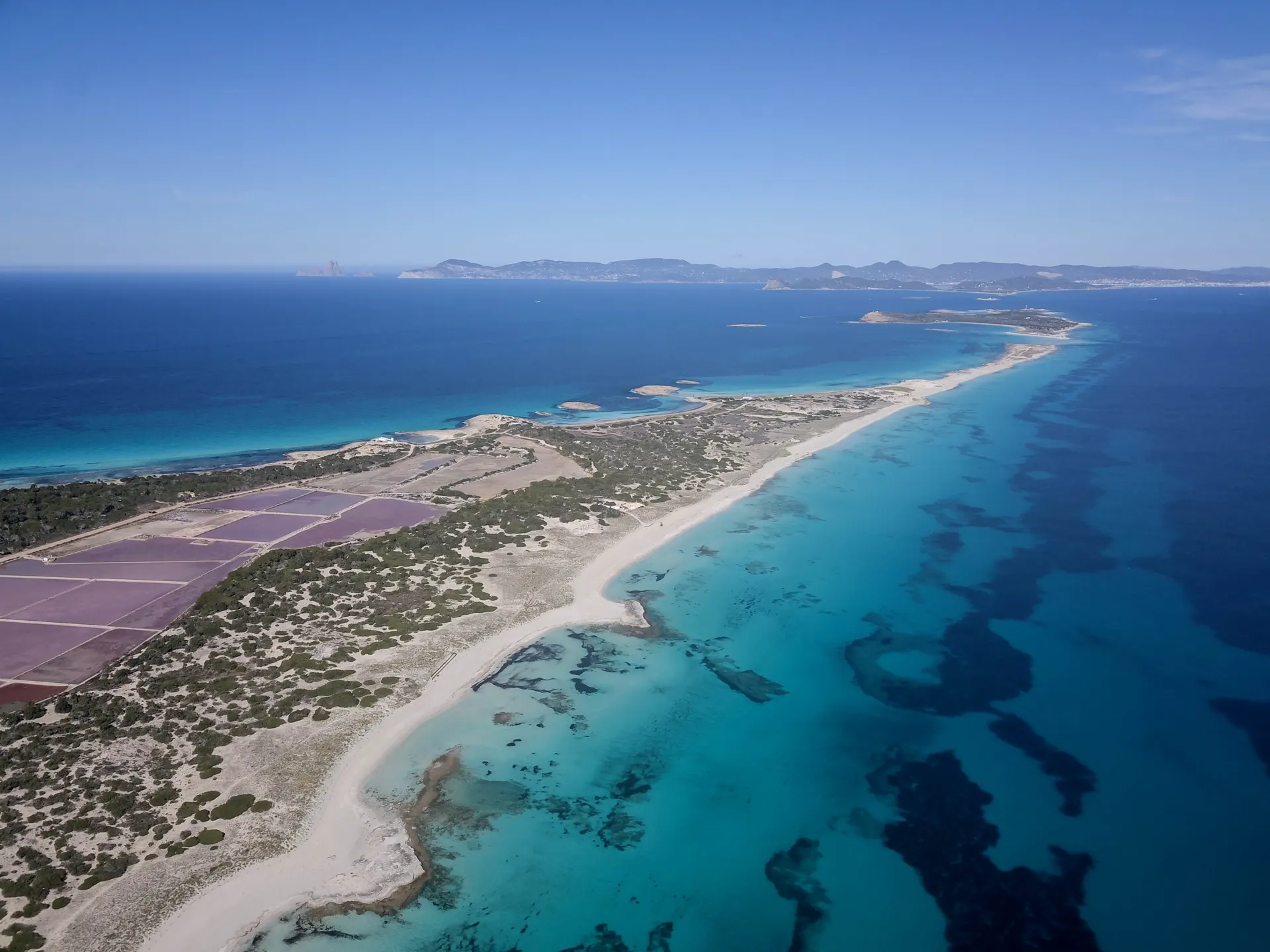
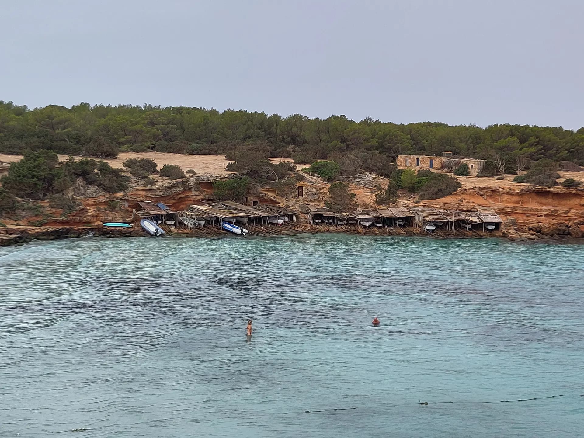
This is the only route along the western side of Es Cap, and in a short distance the landscape changes completely. It starts among dry-farmed fields, most of them worked by local families for their own use, with fig trees whose branches rest on props called estalons. Found only on Formentera, they give livestock shade and make the figs easier to pick. Nearer the coast the green gives way to the reddish rock of Punta Rasa. From the cliffs you look out to Es Vedrà and Ibiza, with Cala Saona, its jetties and white sand to the right.
How long to plan
30 minsOn foot
10 minsBy bike
The official times, without stopping.
On the way
Where to eat on the way
Carry on from here
Frequently asked questions
How long is green route 9, Es Cap - Punta Rasa?
2.2 km: about 10 minutes by bike or 30 minutes on foot.
Can you cycle green route 9?
Yes. It is for bikes and walkers, and its official difficulty is easy.
Short link
Share this address or put it on your website. It opens this page in each visitor's language.
formentera.com/es-cap-punta-rasaSources (2)
- Es Cap - Punta Rasa (formentera.es), checked 6 November 2026
- Route lines and surfaces: OpenStreetMap contributors (ODbL)