
Green route 10
Es Cap - Es Garroveret
9.4 kmLength
55 minBy bike
165 minOn foot
ModerateDifficulty
Surface
6.4 km paved3.1 km gravel or earth
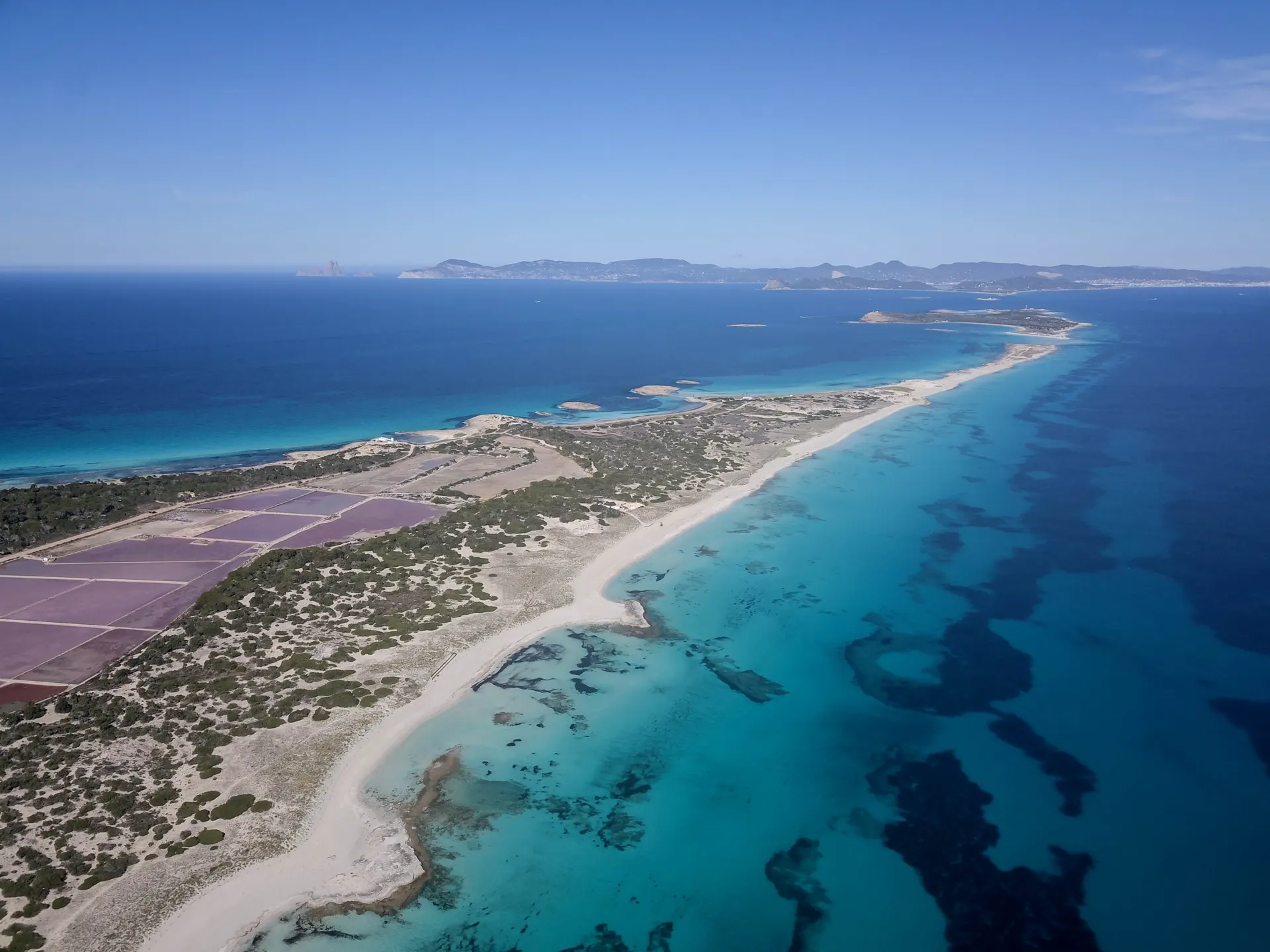
The route runs beside the road through Can Parra, a quiet corner of rural Formentera with dry stone walls around the fields, traditional houses and small flocks kept for the family. Halfway along it crosses the road and takes the old Es Cap path, where for a while it is easy to forget the island has any tourism.
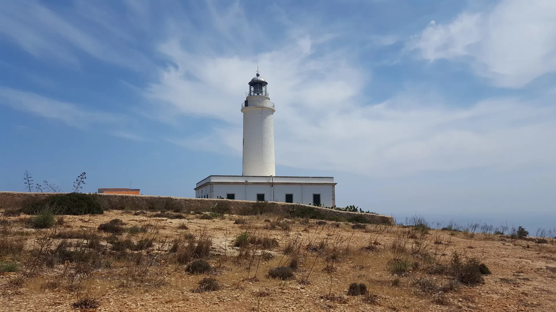
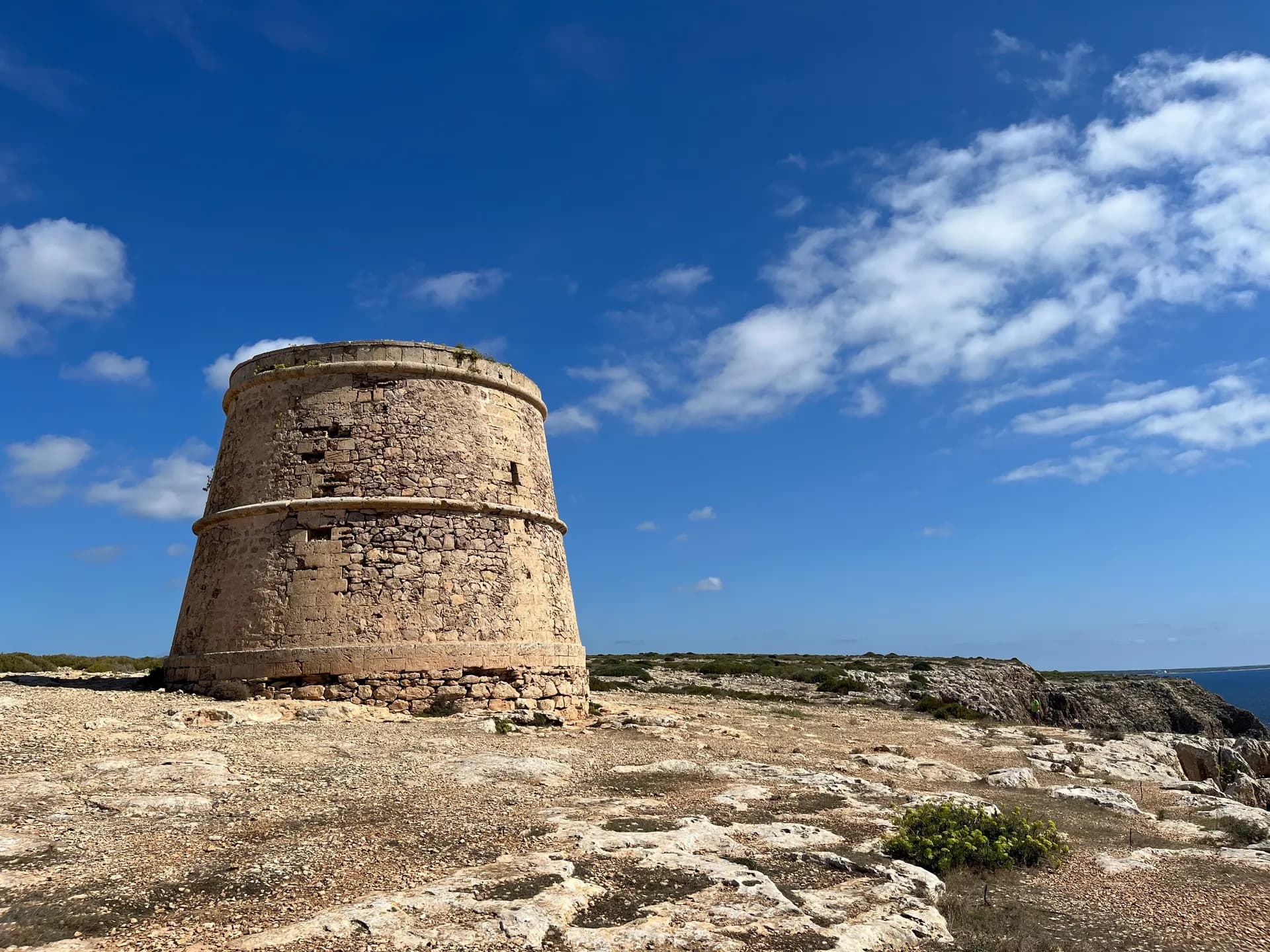
Heading south it rejoins the road and passes the prehistoric sites of the cape. Many people lived here in the Early and Middle Bronze Age: twenty sites are known, three of them excavated, signposted and open to visit. The route ends at the lighthouse and Torre des Garroveret.
How long to plan
2 hrs 45 minsOn foot
55 minsBy bike
The official times, without stopping.
On the way

Where to eat on the way
Carry on from here
Frequently asked questions
How long is green route 10, Es Cap - Es Garroveret?
9.4 km: about 55 minutes by bike or 165 minutes on foot.
Can you cycle green route 10?
Yes. It is for bikes and walkers, and its official difficulty is moderate.
Short link
Share this address or put it on your website. It opens this page in each visitor's language.
formentera.com/es-cap-es-garroveretSources (2)
- Es Cap - Es Garroveret (formentera.es), checked 6 November 2026
- Route lines and surfaces: OpenStreetMap contributors (ODbL)