

Recommended trail · Out and back
Cap de Barbaria lighthouse
Photo: Beni Marull, CC BY-SA 4.0, via Wikimedia Commons
Lengths and times are the island council's official figures for each green route, added up.
Green route 8 heads south from Sant Francesc Xavier through farmland, with almond trees, vineyards and fig trees behind dry-stone walls. The last stretch crosses woodland and then turns bare and rocky, with low rosemary, fennel and thyme: the cape was forest until it was cut down for charcoal.
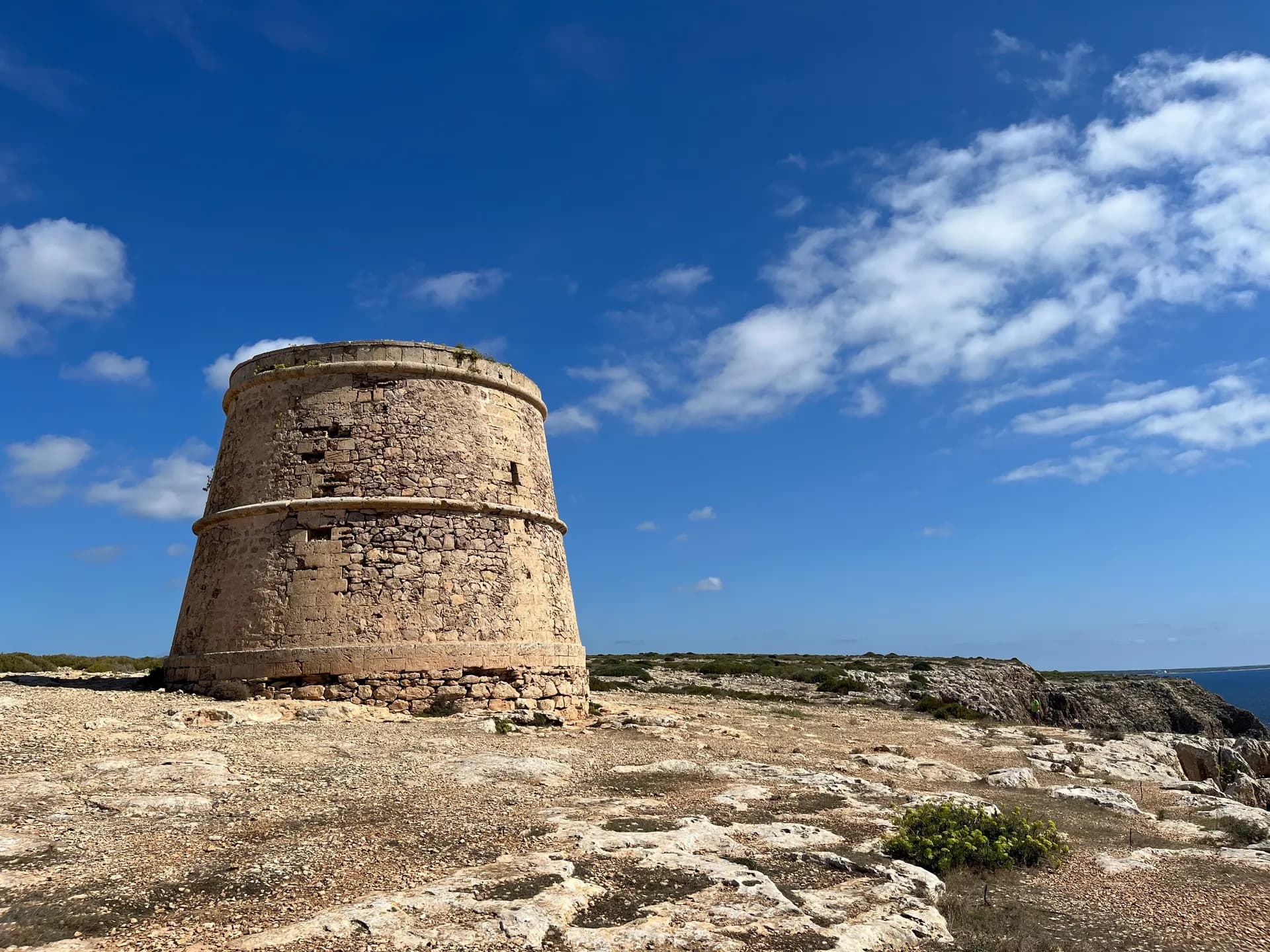
Close to the route lie the prehistoric sites of Cap de Barbaria, settled in the Bronze Age, from about 1600 to 1000 BC. The largest had nine connected rooms, used as homes, workshops and animal shelters. Near the lighthouse stands Torre des Garroveret, a watchtower built in 1763 on a cliff above the sea.
Far des Cap de Barbaria is the lighthouse at the end of the road in Julio Medem's film Lucía y el sexo, and on clear days you can see the mountains of the Spanish mainland. Then ride back the way you came.
How long to plan
The official times, without stopping.
The green routes it follows
Follow the green route signs with these numbers; the trail is their sum.
Where to eat on the way
More trails
 Out and back
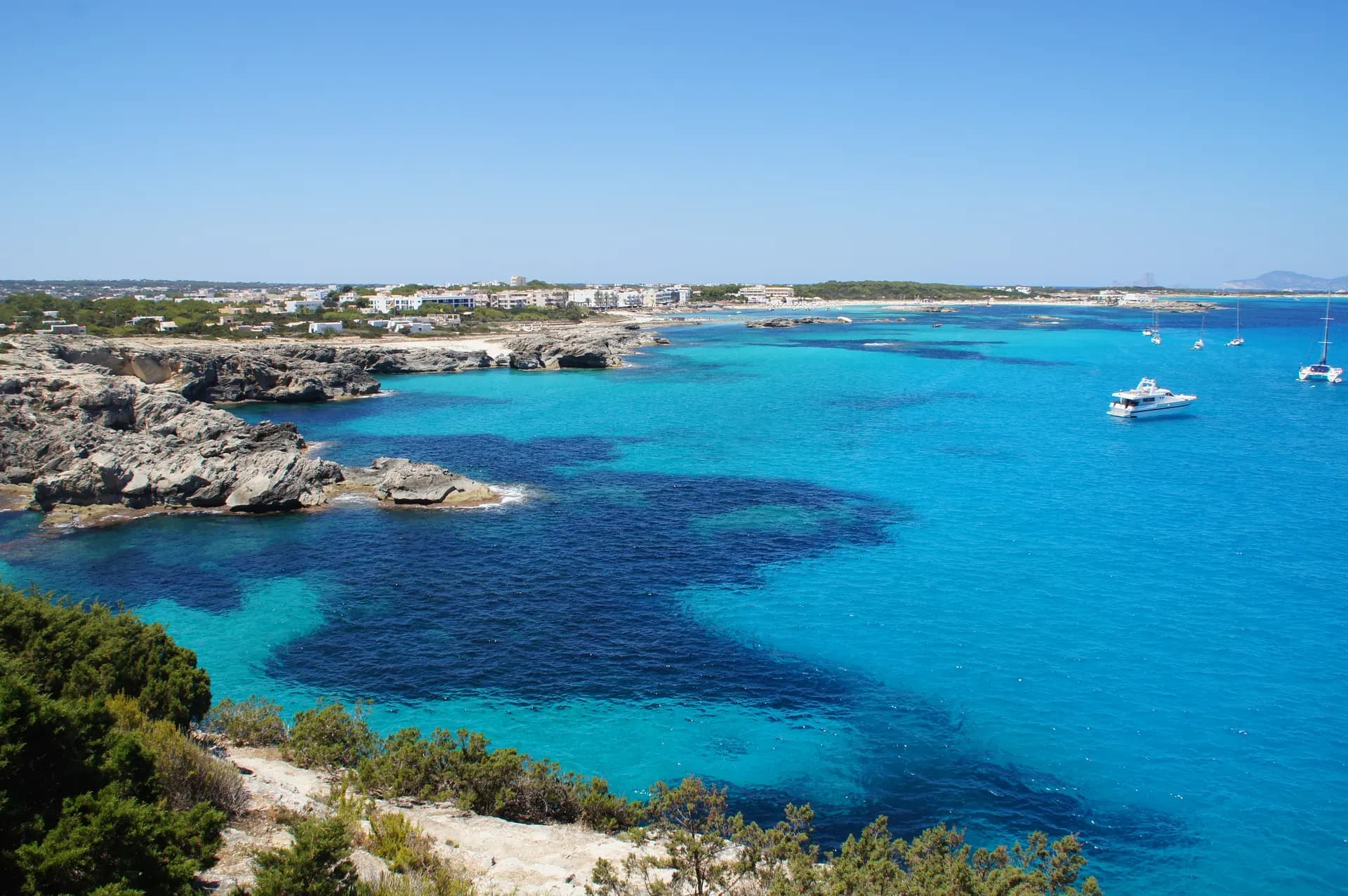
La Savina to Es Pujols and back
La Savina to Es Pujols and backLength11.2 kmBy bike1 hrOn foot2 hrs 50 minsThe trip most people make, round Estany Pudent instead of the road through Sant Francesc, there and back on foot or by bike.
Easy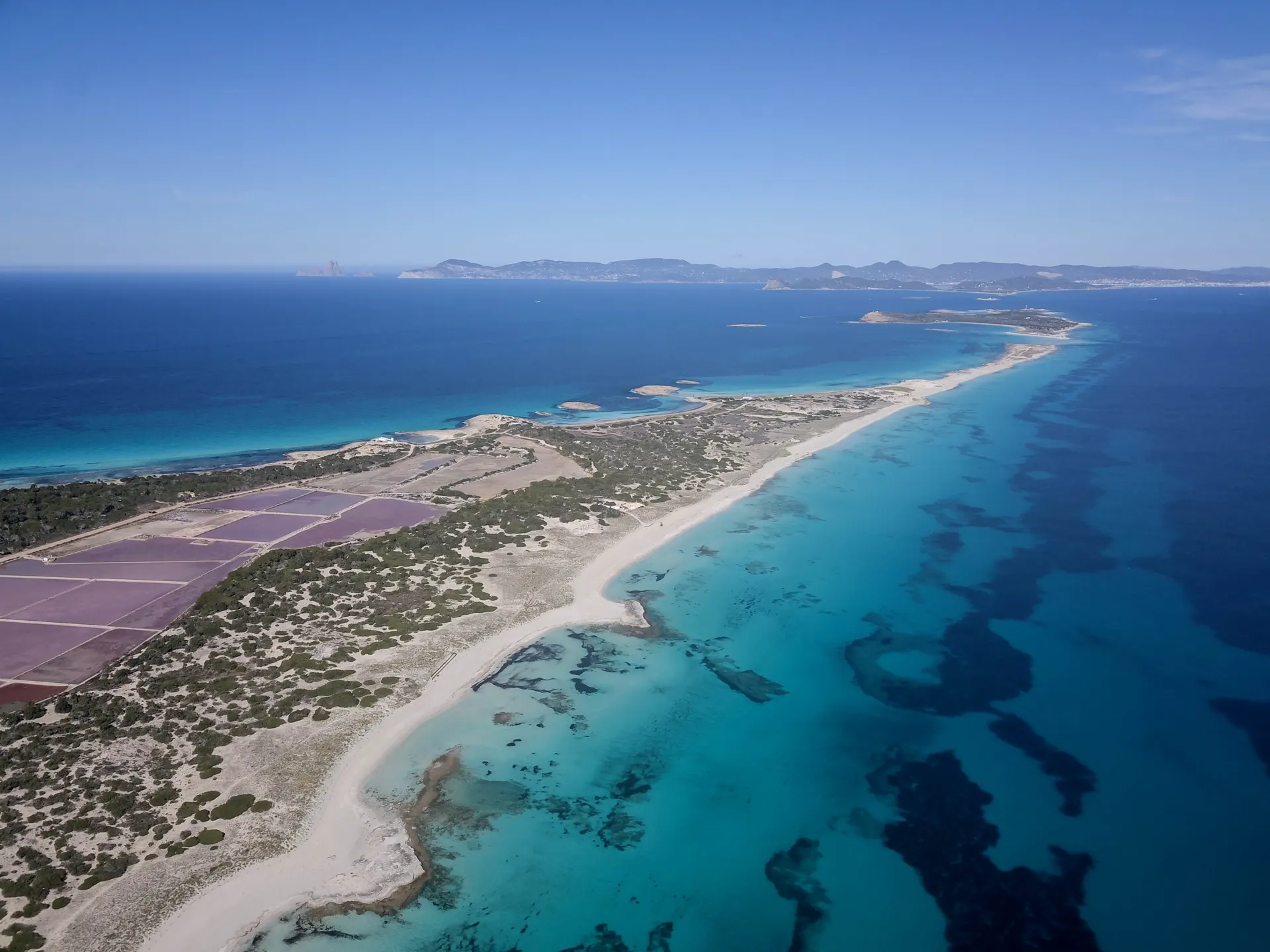 Loop
La Savina to Es Pujols, round the salt lakes
From La Savina, back to La SavinaLength13.5 kmOn foot3 hrs 45 minsAround Estany Pudent to Es Pujols, over the dunes to Ses Illetes and back along the old salt railway, never on the main road.
Hard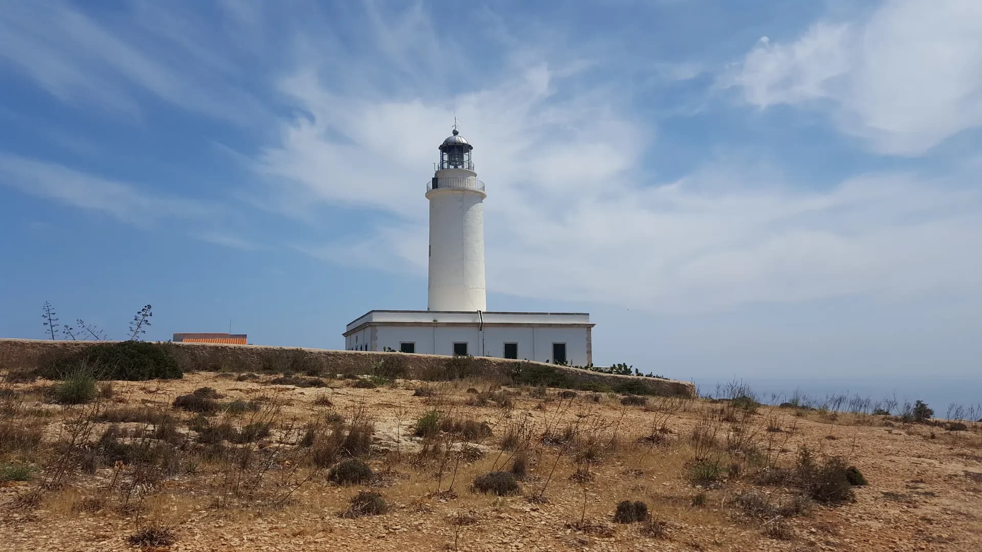 One way
The old way up La Mola
Es Caló de Sant Agustí to Far de la MolaLength6.8 kmOn foot1 hr 55 minsFrom the fishermen's boathouses at Es Caló up the Camí de sa Pujada to La Mola, then across the plateau to the lighthouse.
Hard
Short link
Share this address or put it on your website. It opens this page in each visitor's language.
formentera.com/cap-de-barbaria-lighthouse