
Recommended trail · One way
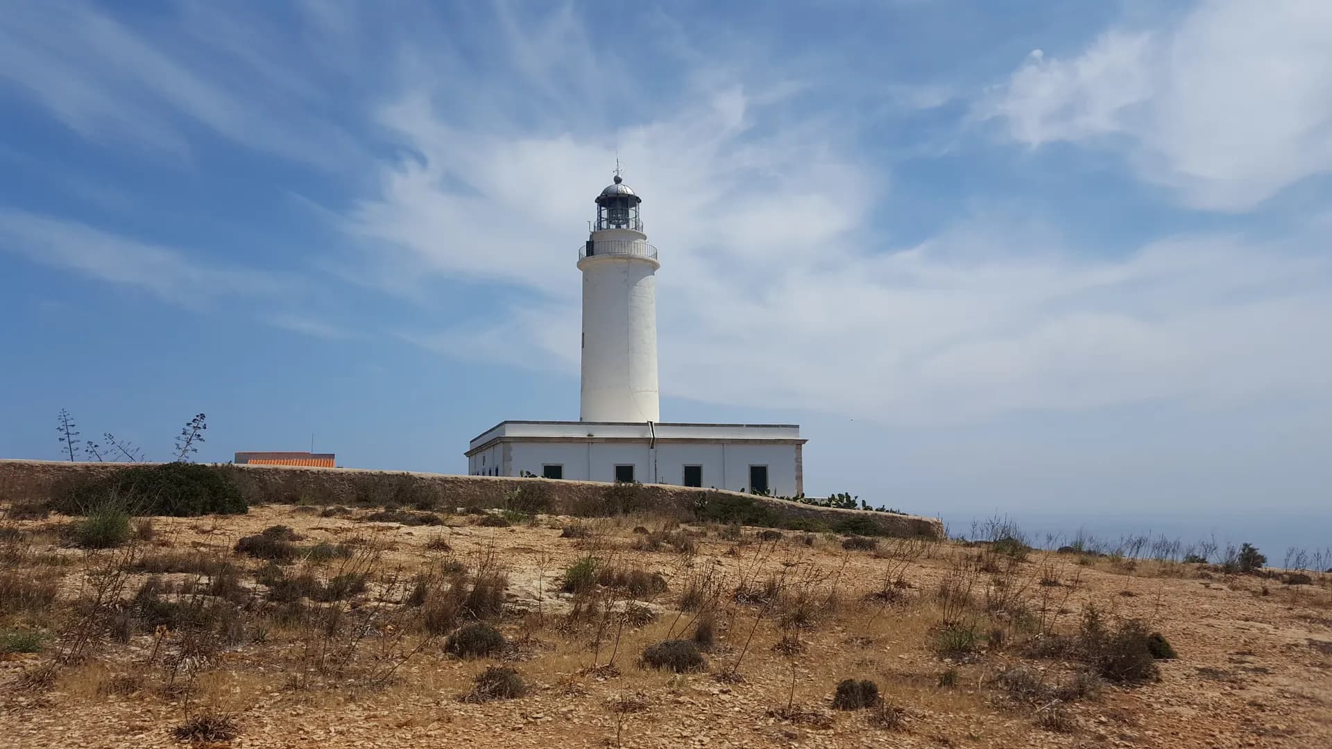
The old way up La Mola
Photo: Formesar, CC BY-SA 4.0, via Wikimedia Commons
Lengths and times are the island council's official figures for each green route, added up.
The walk starts at Es Caló de Sant Agustí, the old port of the people of La Mola. Its wooden boathouses have been protected since 2002, and the winch that launched the mail boat to Ibiza is still there.
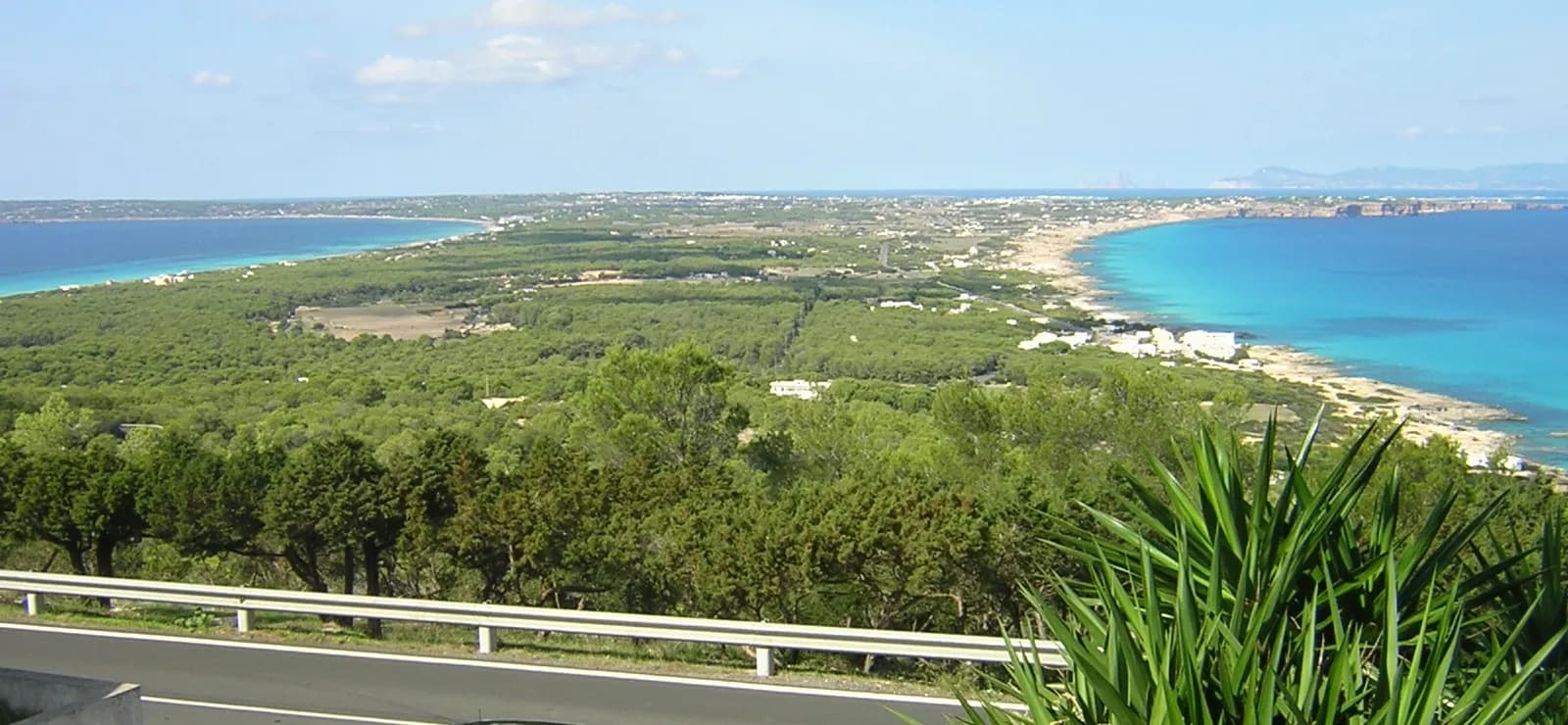
Green route 25, for walking only, climbs the Camí de sa Pujada, the way up to La Mola before the road was built. It runs along the cliffs at the north-east point of the plateau, paved in places against erosion, and documents only show it in the 18th century, when it was repaired. As you climb, the views open over the island, the Racó de sa Pujada and the Pou des Verro.
From El Pilar de la Mola, green route 29 carries on past fields and a house listed for its traditional features to Far de la Mola, in service since 1861, on the cliff edge at the island's eastern tip, with a monument to Jules Verne beside it.
How long to plan
The official times, without stopping.
On the way

The green routes it follows
Follow the green route signs with these numbers; the trail is their sum.
Where to eat on the way
More trails
 Loop
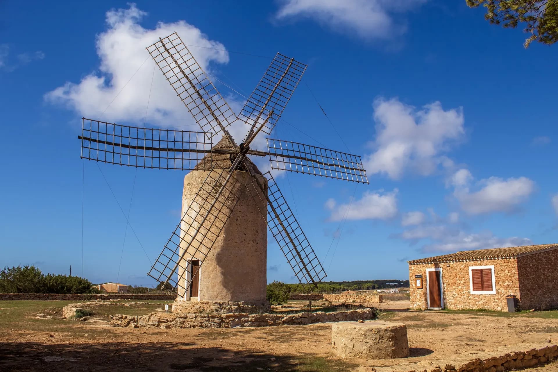
Round the La Mola plateau
From El Pilar de la Mola, back to El Pilar de la MolaLength12.3 kmOn foot3 hrs 5 minsBy bike1 hrA loop of the La Mola plateau from El Pilar: the windmill, the fields and the dry-stone walls, out to the cliffs and the lighthouse.
Easy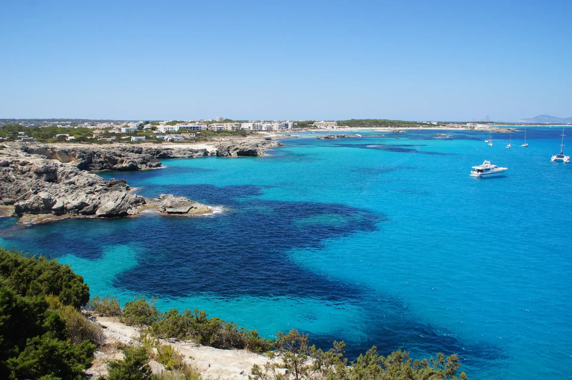 Out and back
La Savina to Es Pujols and back
La Savina to Es Pujols and backLength11.2 kmOn foot2 hrs 50 minsBy bike1 hrThe trip most people make, round Estany Pudent instead of the road through Sant Francesc, there and back on foot or by bike.
Easy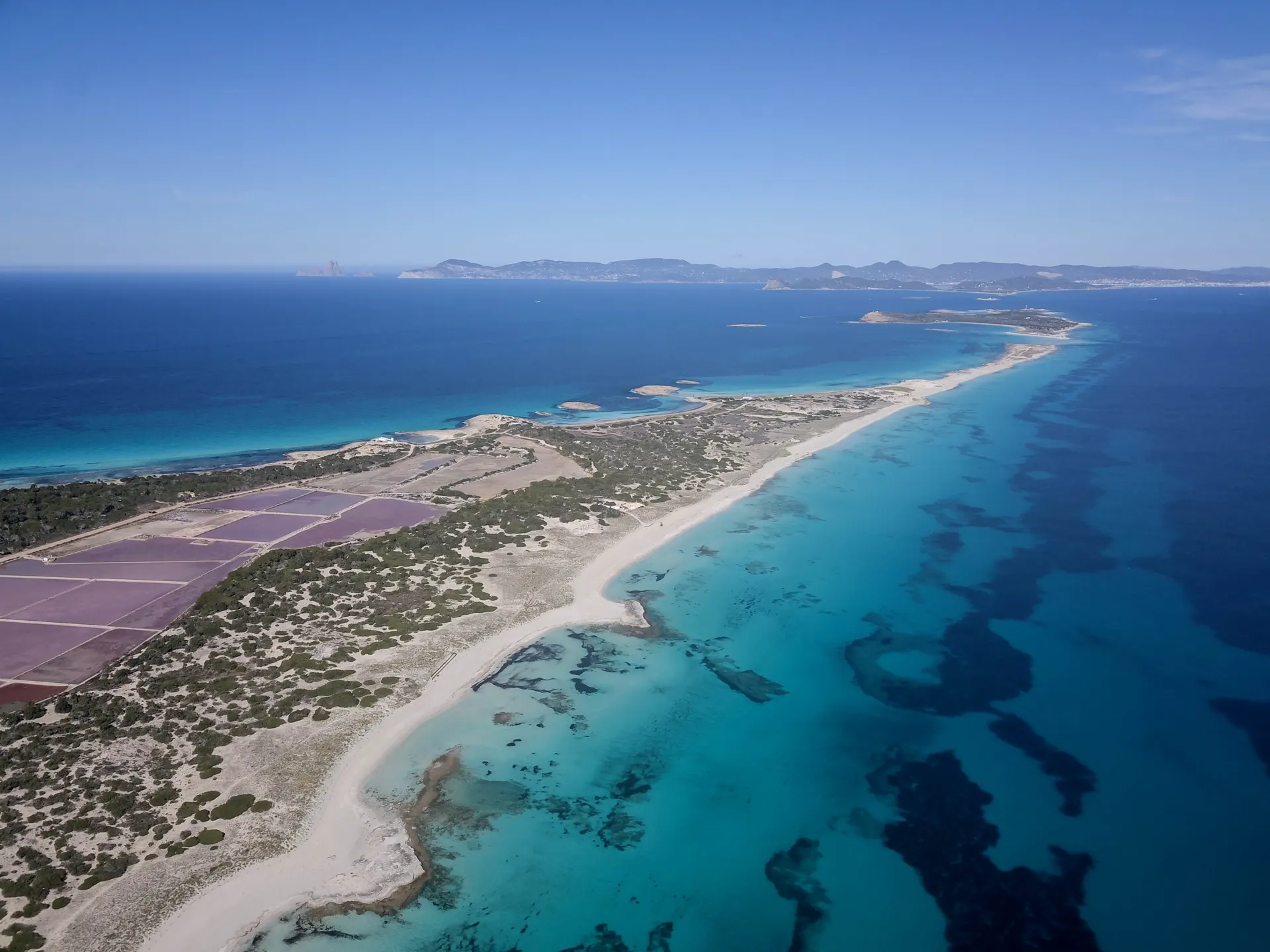 Loop
La Savina to Es Pujols, round the salt lakes
From La Savina, back to La SavinaLength13.5 kmOn foot3 hrs 45 minsAround Estany Pudent to Es Pujols, over the dunes to Ses Illetes and back along the old salt railway, never on the main road.
Hard
Short link
Share this address or put it on your website. It opens this page in each visitor's language.
formentera.com/old-way-up-la-mola