
Recommended trail · Out and back
La Savina to Es Pujols and back
Photo: Emanuela Meme Giudic…, CC BY 3.0, via Wikimedia Commons
Lengths and times are the island council's official figures for each green route, added up.
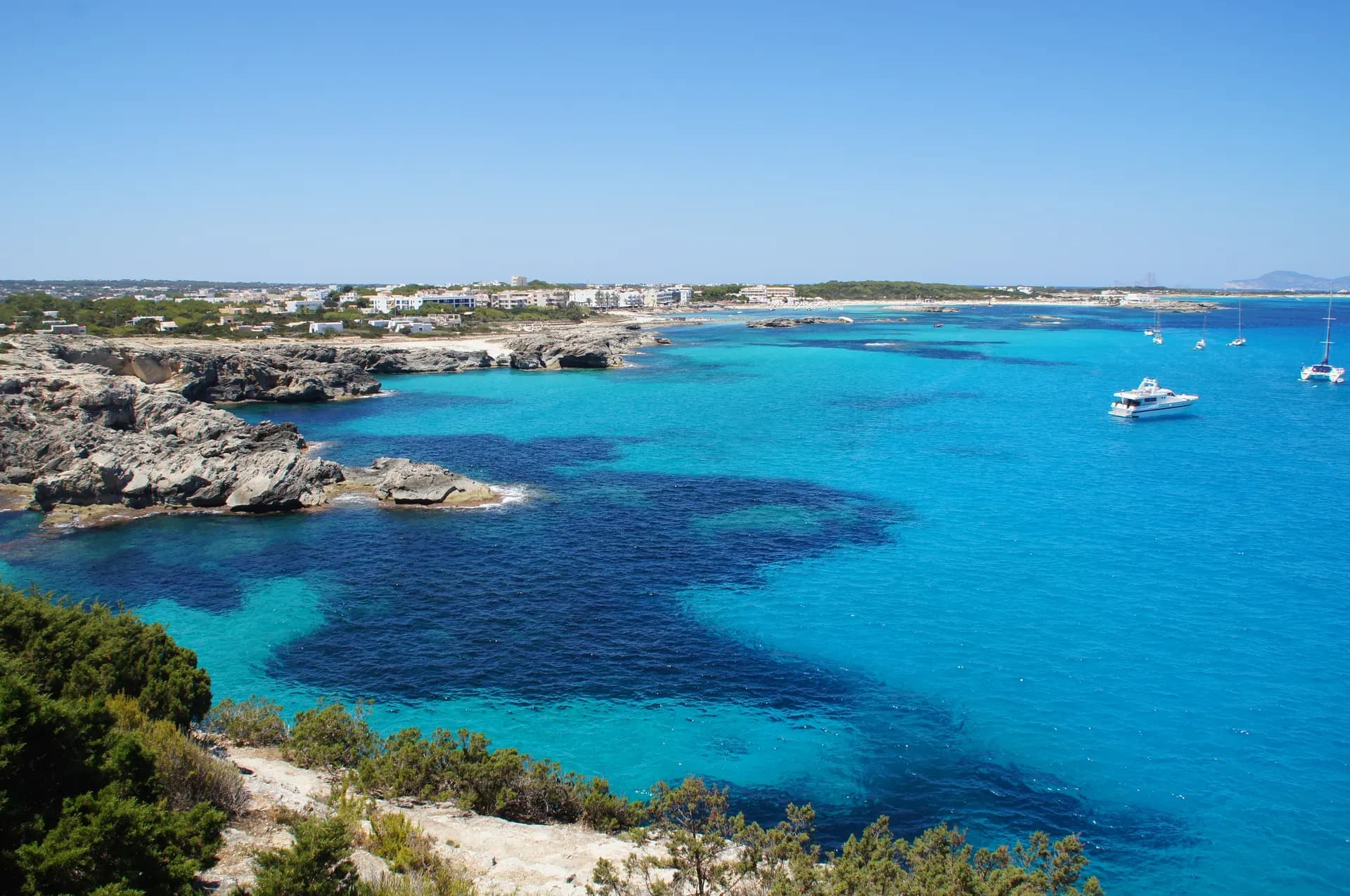
Green route 2 links La Savina and Es Pujols without the road through Sant Francesc. From the port it goes round Estany Pudent, the island's large saltwater lagoon, and Sant Francesc Xavier is only a detour off it.
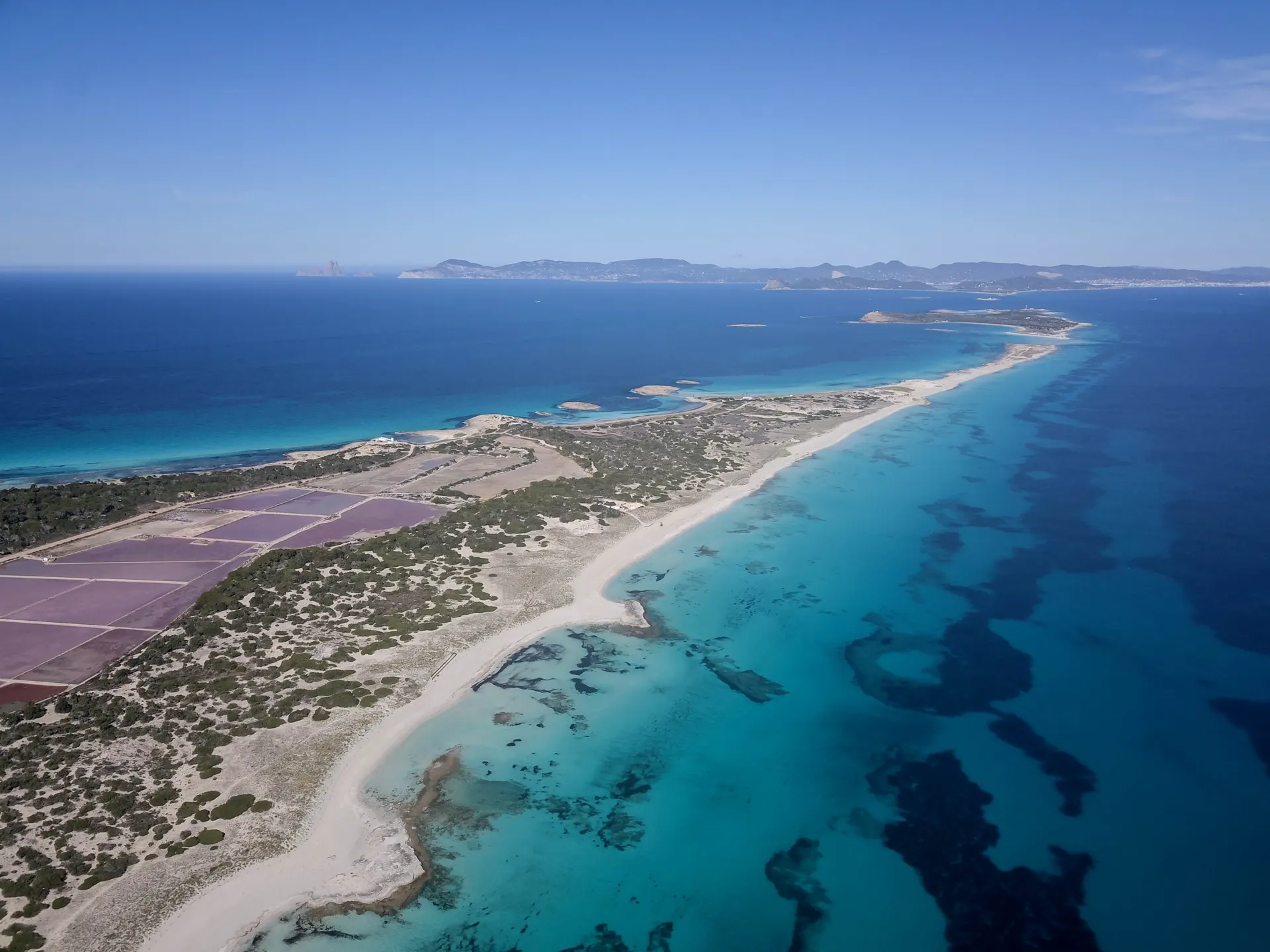
Right at the start of the Camí des Brolls, on the edge of La Savina, you see the Salines d'en Ferrer, part of the salt works that were Formentera's only industry before tourism. The salt pans turn pink and violet in summer and are closed to visitors. The path, named after its underground freshwater springs, follows much of the shore, and in winter flamingos, grey herons and ducks are a common sight.
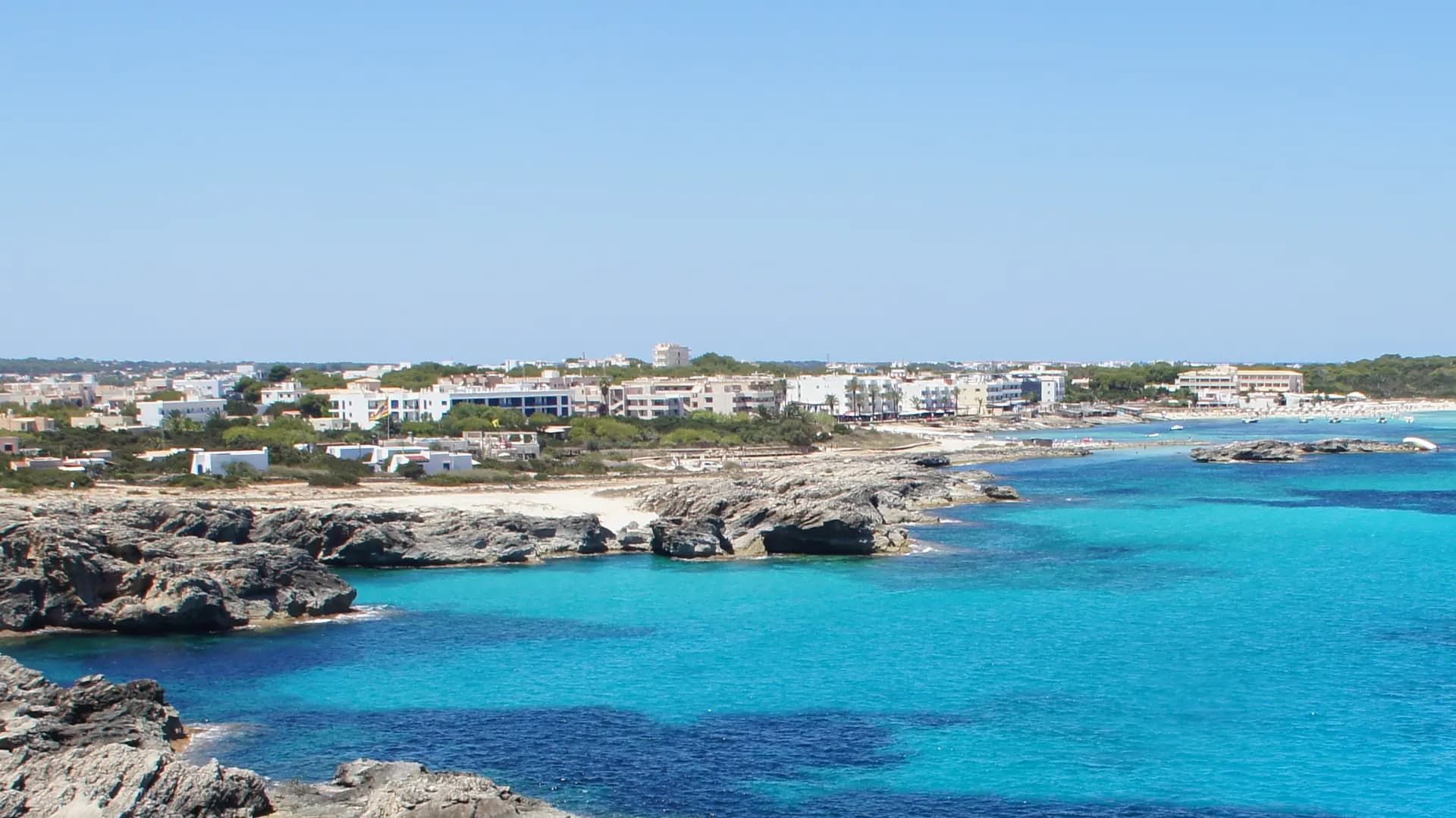
At Es Pujols, where you can still see the fishermen's boathouses, turn round and come back the same way, on foot or by bike.
How long to plan
The official times, without stopping.
The green routes it follows
Follow the green route signs with these numbers; the trail is their sum.
Where to eat on the way
More trails
 Loop
La Savina to Es Pujols, round the salt lakes
From La Savina, back to La SavinaLength13.5 kmOn foot3 hrs 45 minsAround Estany Pudent to Es Pujols, over the dunes to Ses Illetes and back along the old salt railway, never on the main road.
Hard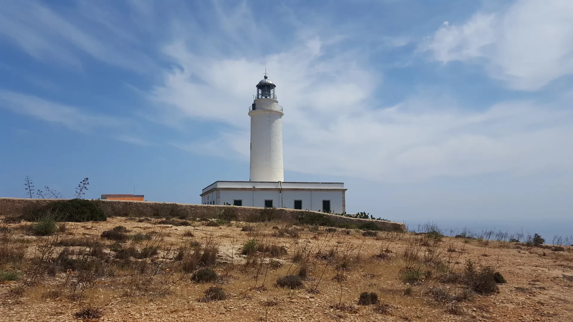 One way
The old way up La Mola
Es Caló de Sant Agustí to Far de la MolaLength6.8 kmOn foot1 hr 55 minsFrom the fishermen's boathouses at Es Caló up the Camí de sa Pujada to La Mola, then across the plateau to the lighthouse.
Hard Out and back
Cap de Barbaria lighthouse
Sant Francesc Xavier to Far des Cap de Barbaria and backLength19.2 kmOn foot5 hrs 30 minsBy bike2 hrsFrom Sant Francesc to the island's southern tip, past the watchtower and the prehistoric sites of Cap de Barbaria, and back.
Moderate
Short link
Share this address or put it on your website. It opens this page in each visitor's language.
formentera.com/la-savina-es-pujols-and-back